Santiago de Chile
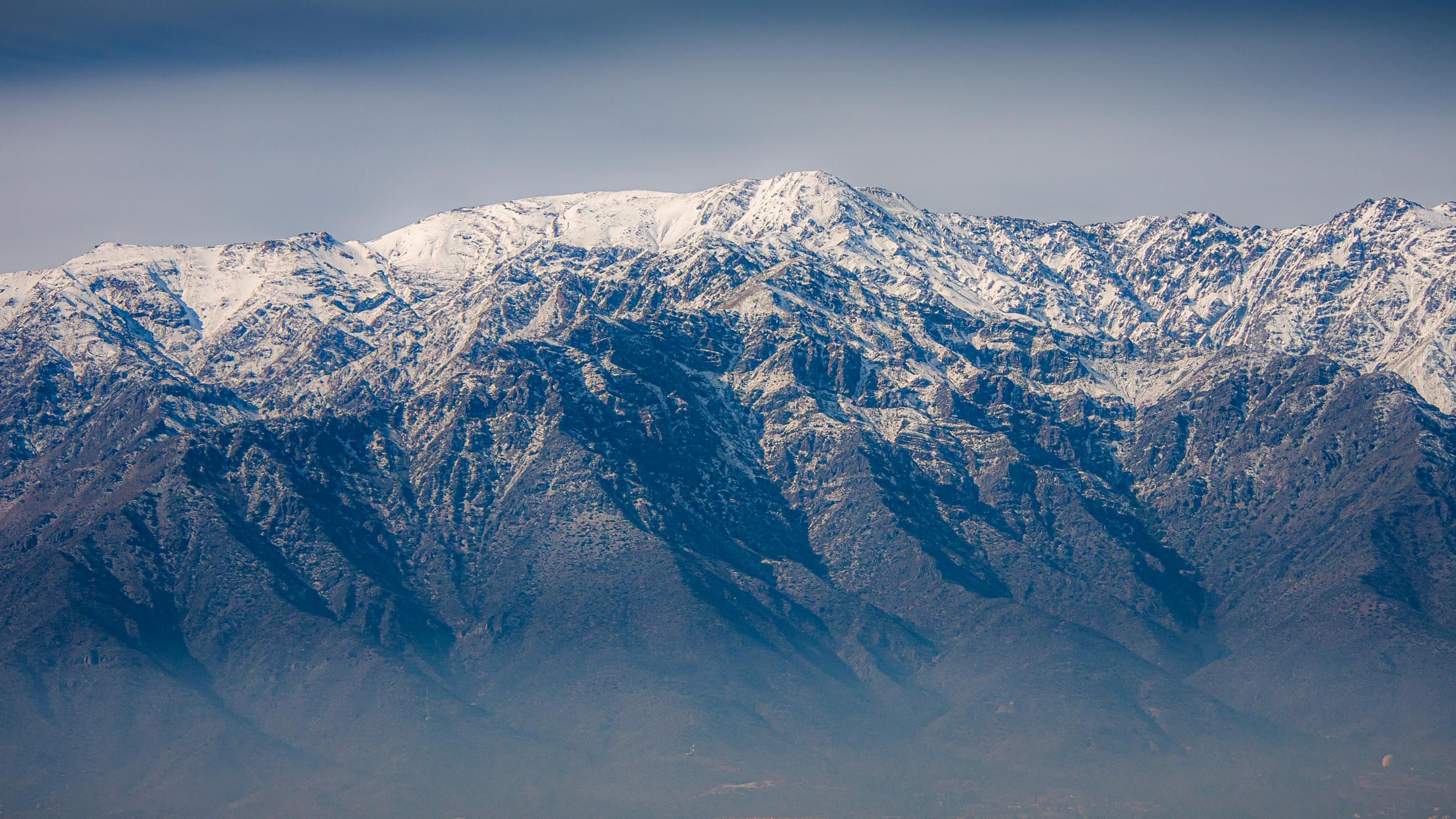
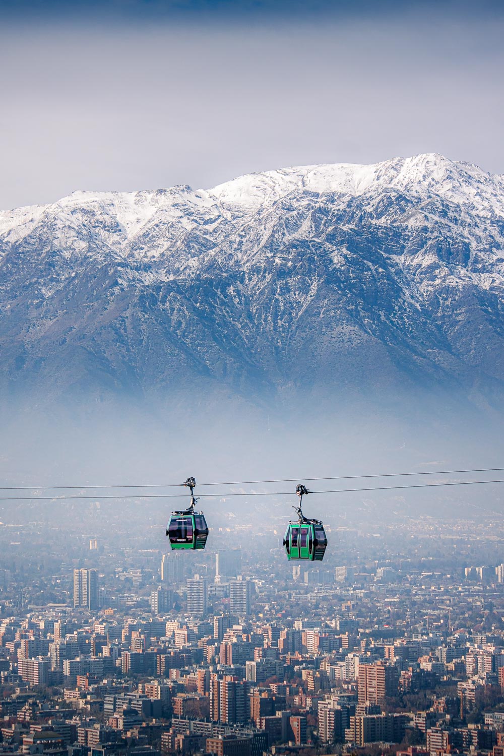
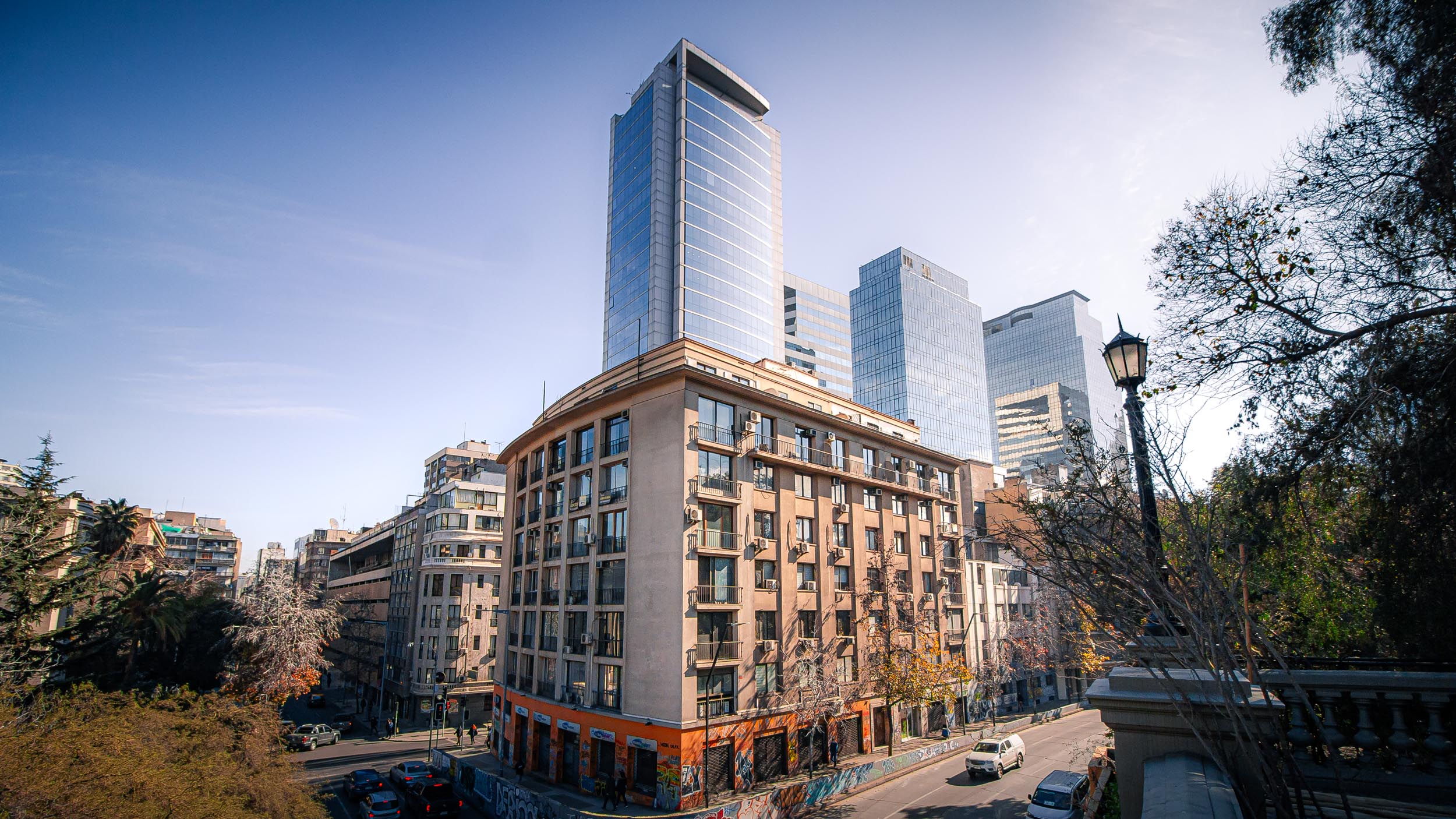
With more than 6 million inhabitants, Santiago de Chile is the most populous city in Chile, and also its capital. It is located pretty much at the half-way point between the north and south of the country and sits at the edge of the Andes mountains at an altitude of about 500m above sea level. The mountains surrounding the city provide spectacular views and the opportunity to reach hiking and skiing areas within an hour. Due to the nature of Chile's geography, the Pacific Ocean is also only about an hour's drive away.
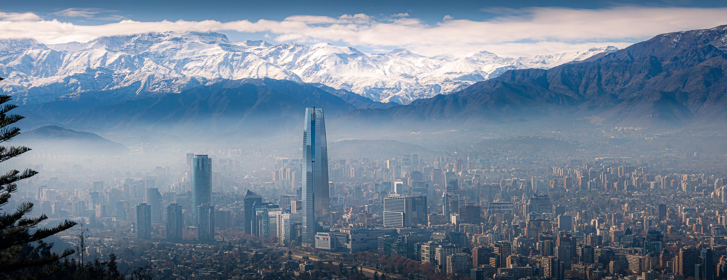
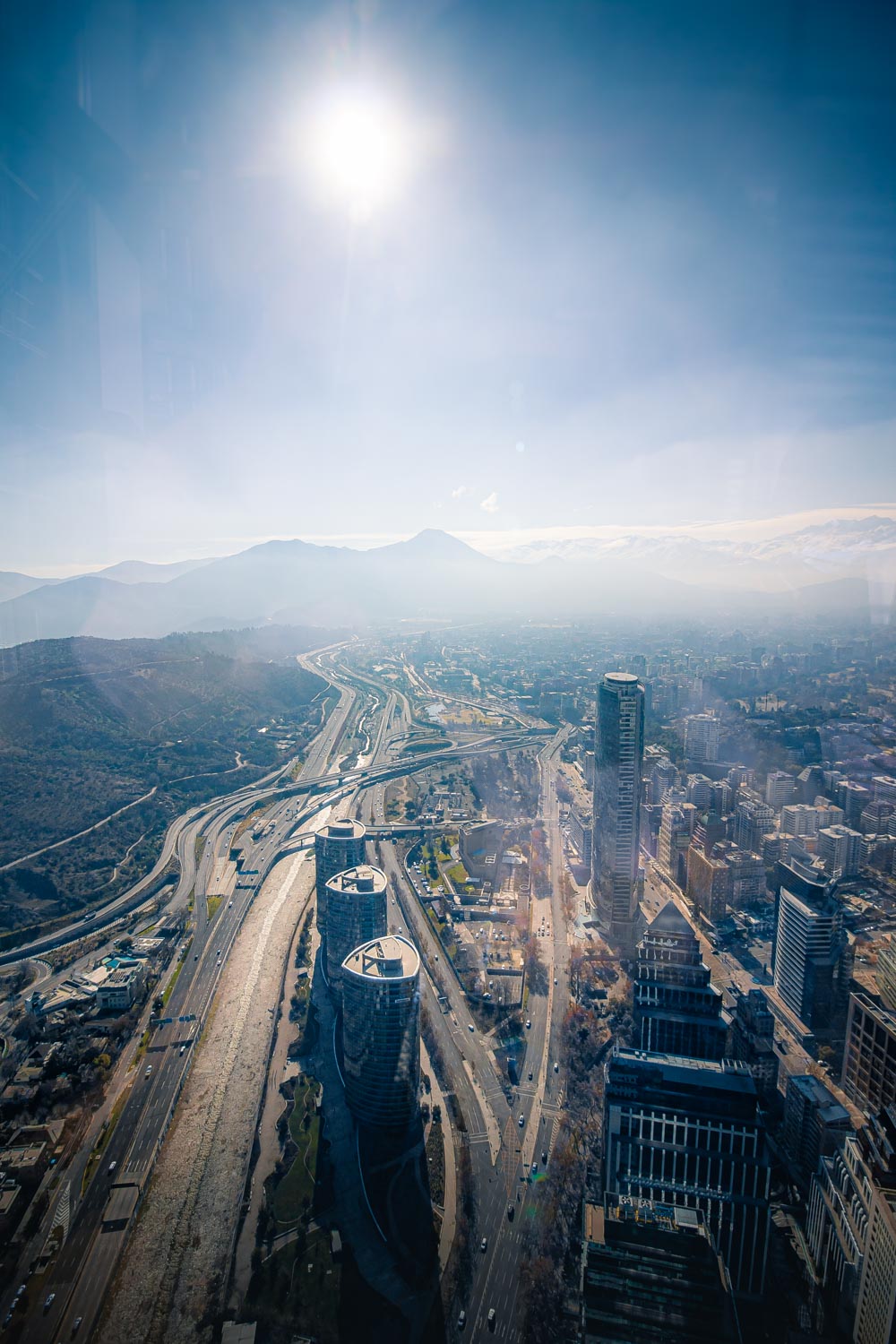
Santiago was founded in 1541 by Spanish conquerer Pedro de Valdivia, although the territory was inhabited long before that and actually part of the Inca Empire during the late fifteenth and early sixteenth century. In 1920, Santiago had a population of about half a million people, which, from then on, grew faster and faster. One of the city's biggest challenges nowadays is air pollution, as can be seen in the picture on the left. Due to being in a valley, the smog emitted by the industry and vehicles cannot escape the city easily, thus becoming trapped. On the day I took the photo on the left, it was explained to me that smog conditions were very good, which, needless to say, was hard to believe. In the winter, the effects of the smog are intensified even more though, because of the lack of rain which is normally able to clear the smog for a little while. However, the air pollution is not the only issue that the city has to face. Earthquakes are a regular occurrence in Santiago, and have led to a lot of destruction over time, forcing the government to modify building codes to improve safety. In 2010, Chile was hit by the sixth largest earthquake ever on record, with a magnitude of 8.8 on the Richter Scale, causing a lot of destruction. Santiago is the industrial and financial center of the country, producing 45% of its GDP. Even though the inflation of the Chilean Peso is growing, Santiago is experiencing economic growth and is transforming into a more modern and international city. However, as in the rest of the country, there is a large economic divide between the upper and lower class in the city, even geographically between the poorer west and the rich east of the city.
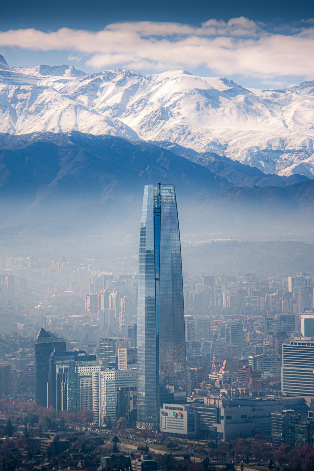
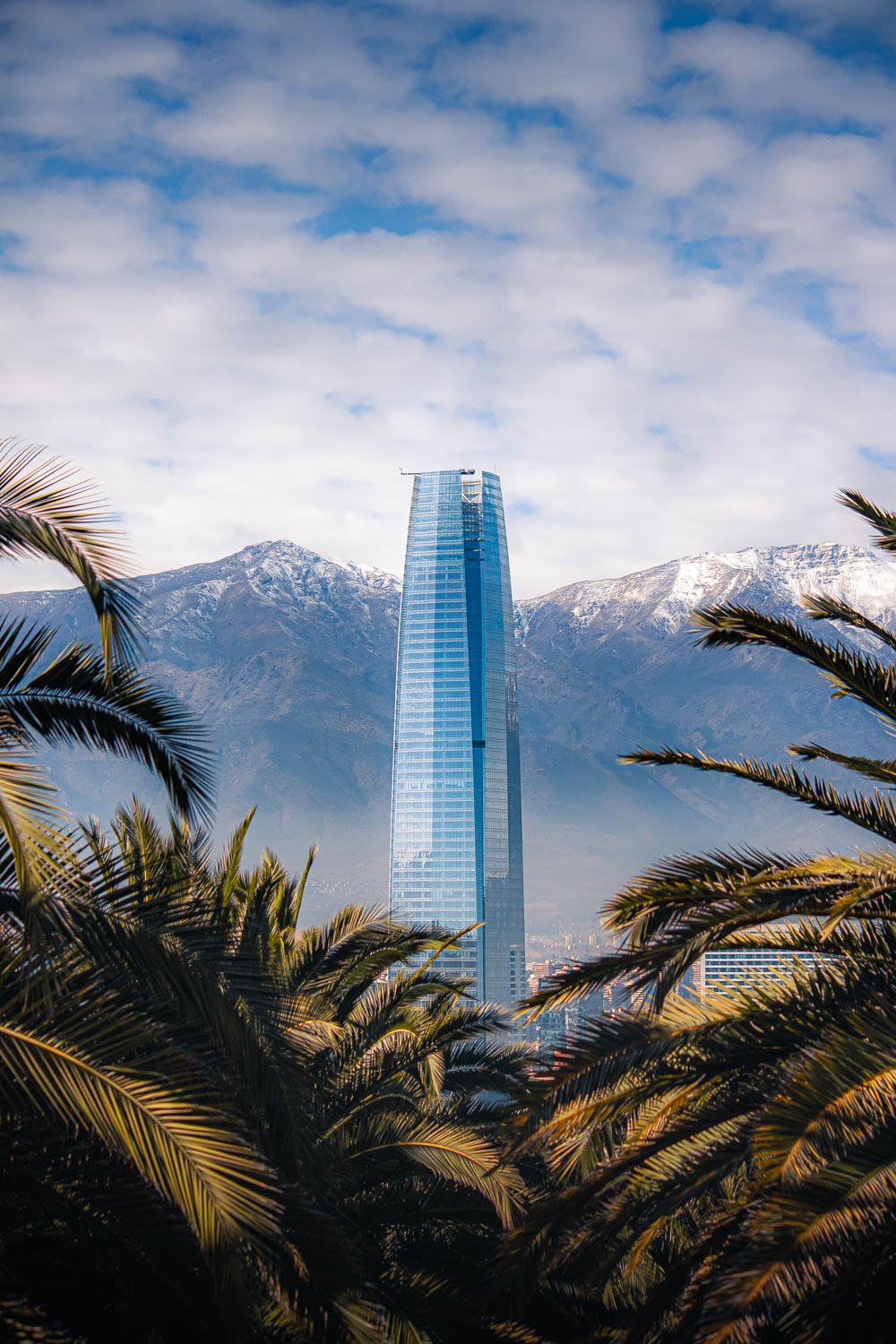
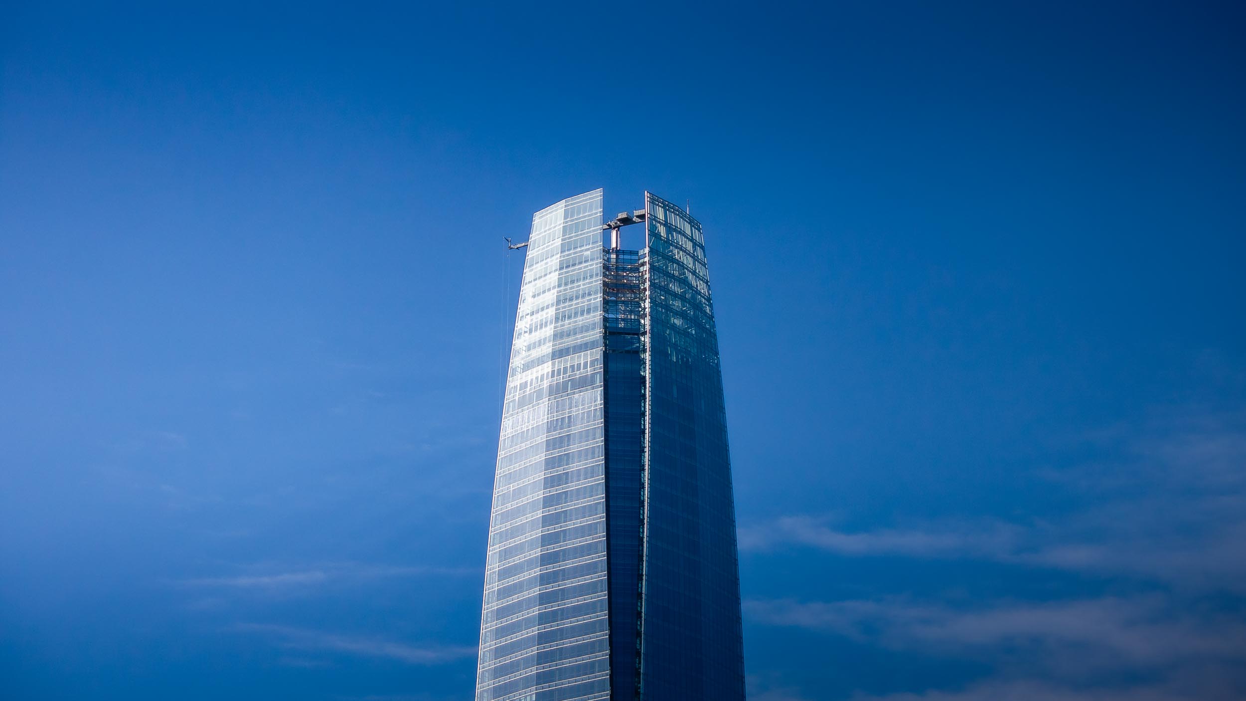
The Gran Torre Santiago is the tallest building in South America, with a height of 300m and 62 floors. It was built between 2006 and 2013 and cost an estimated US$1 billion. It towers over the rest of the city and provides beautiful views from its observation deck on the top two floors (images of this further down). The tower is part of the Costanera Center, the largest shopping mall in Latin America and has 24 elevators which reach speeds of up to 8.5m per second.
Text adapted from Wikipedia.org
Press Enter to automatically
scroll to the next picture
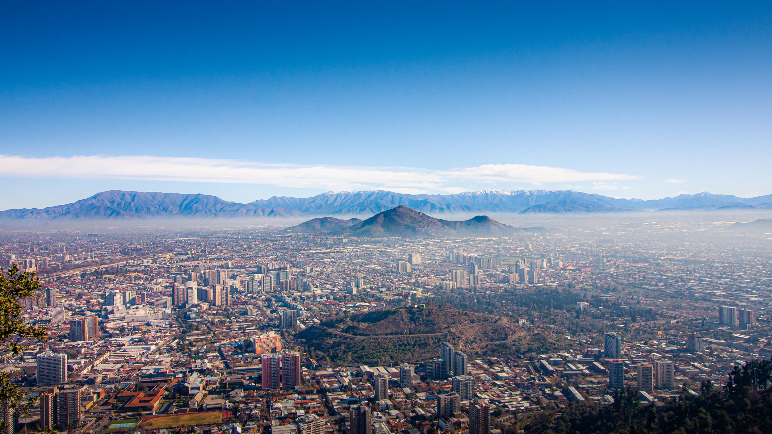
View from the Parque Metropolitano de Santiago towards the west
View from the Parque Metropolitano de Santiago towards the east
The Gran Torre Santiago
View from the Gran Torre Santiago
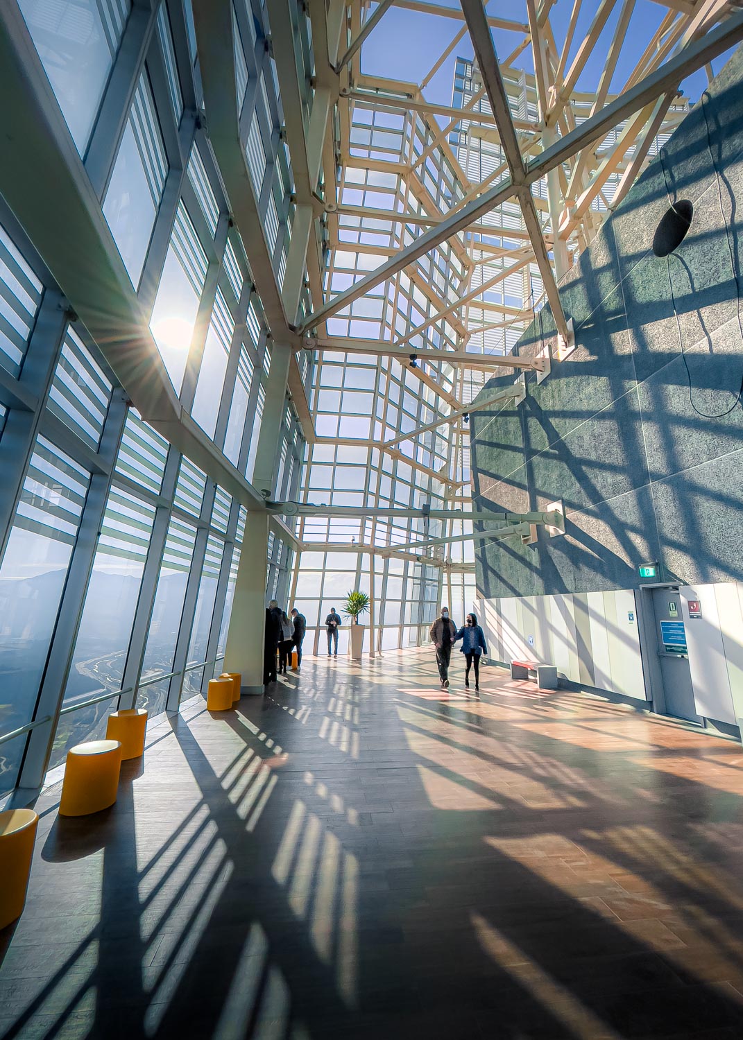
The observation deck
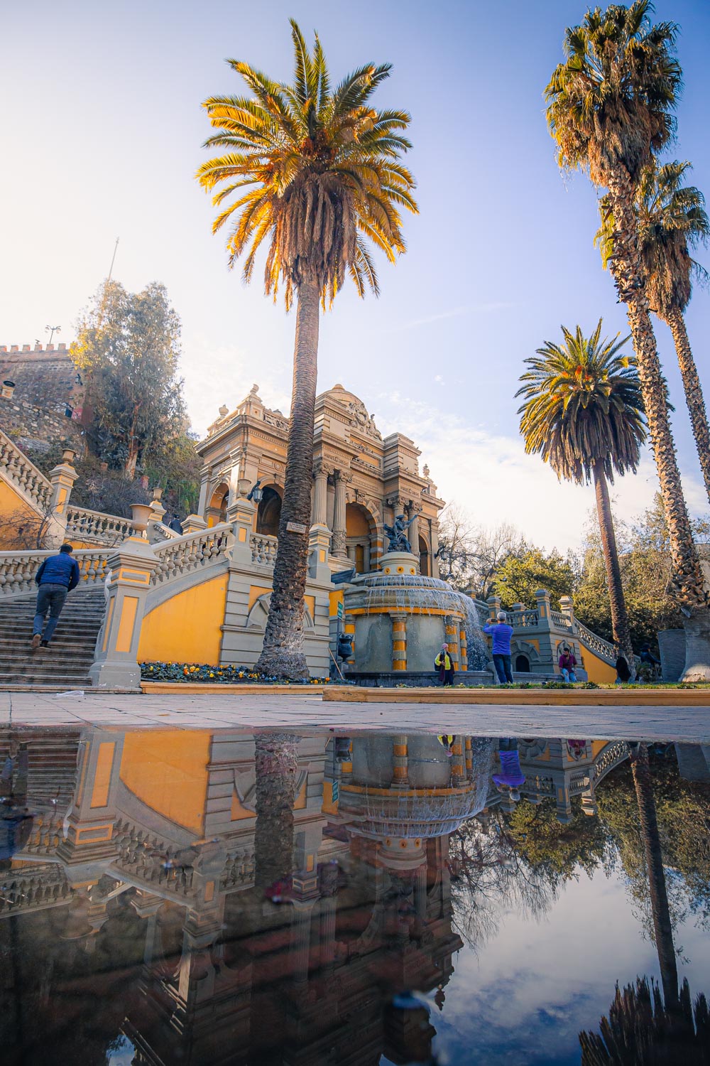
Fuente Neptuno
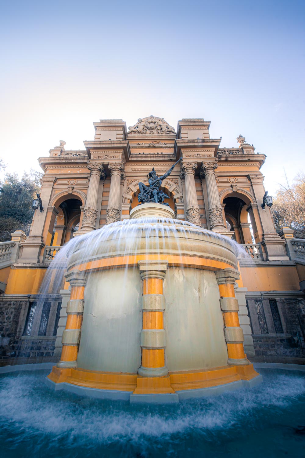
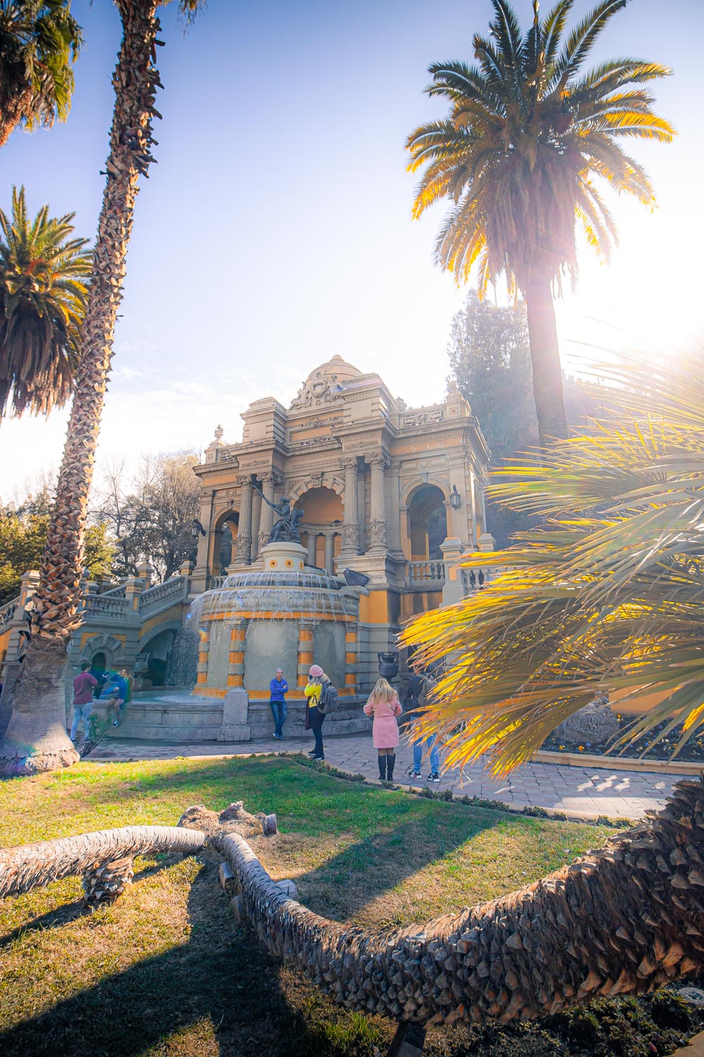
Neptune Fountain
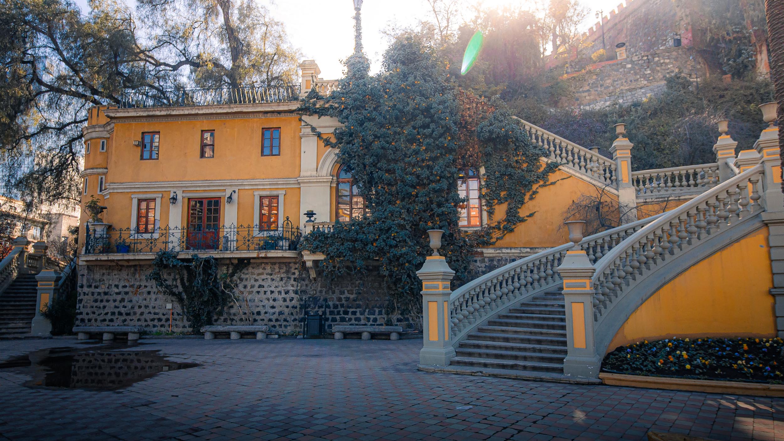
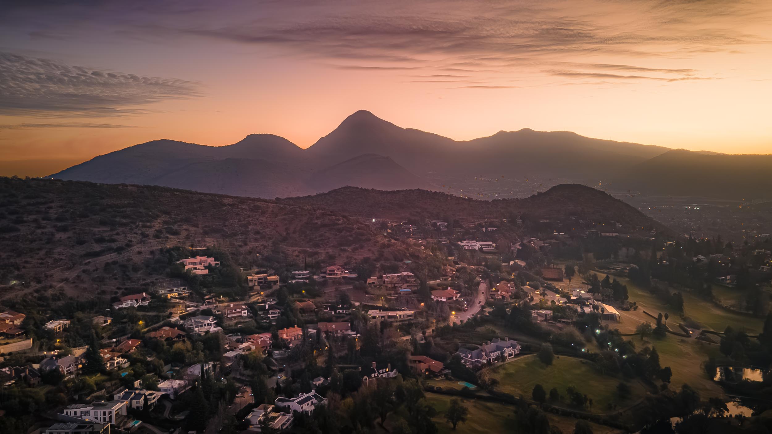
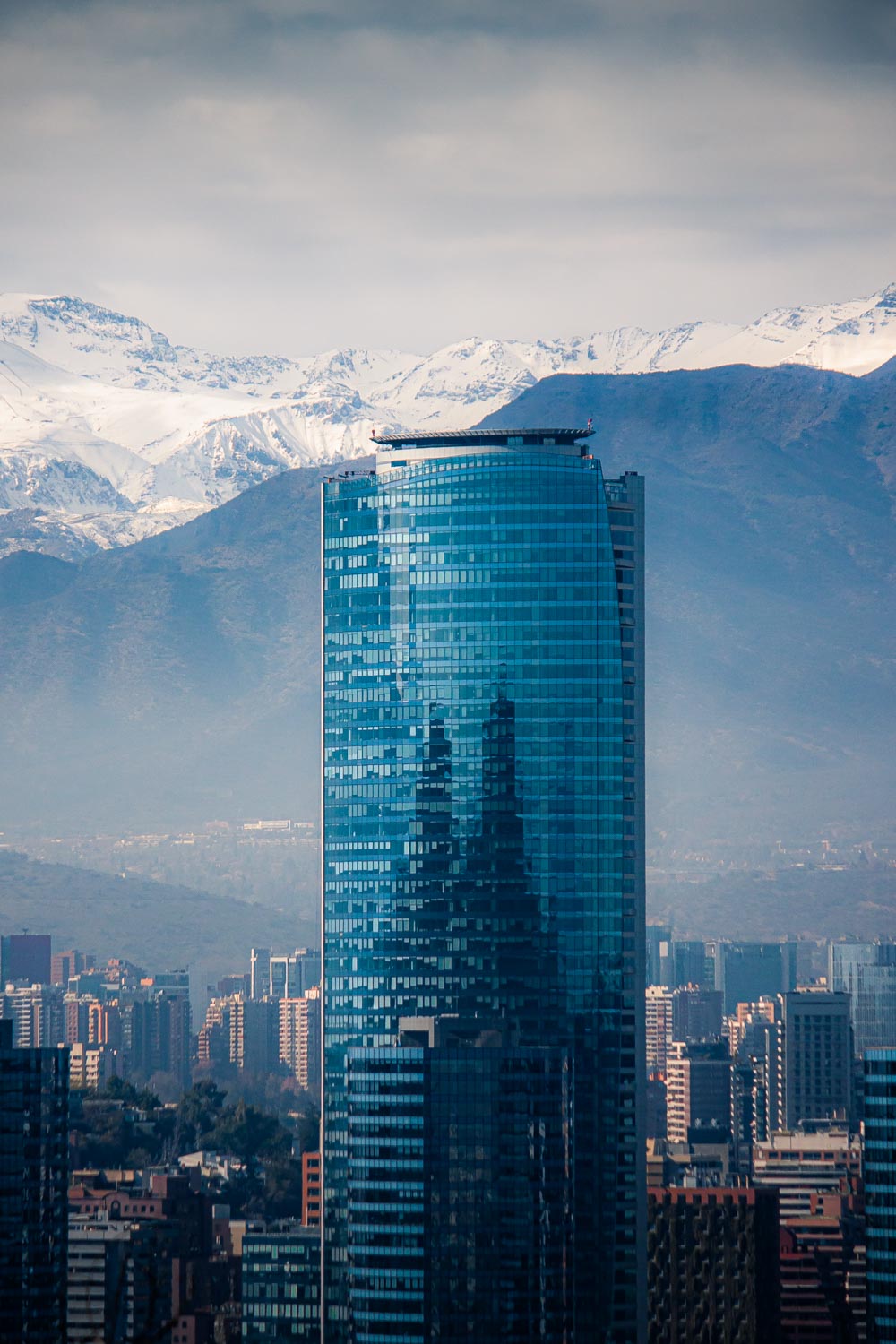
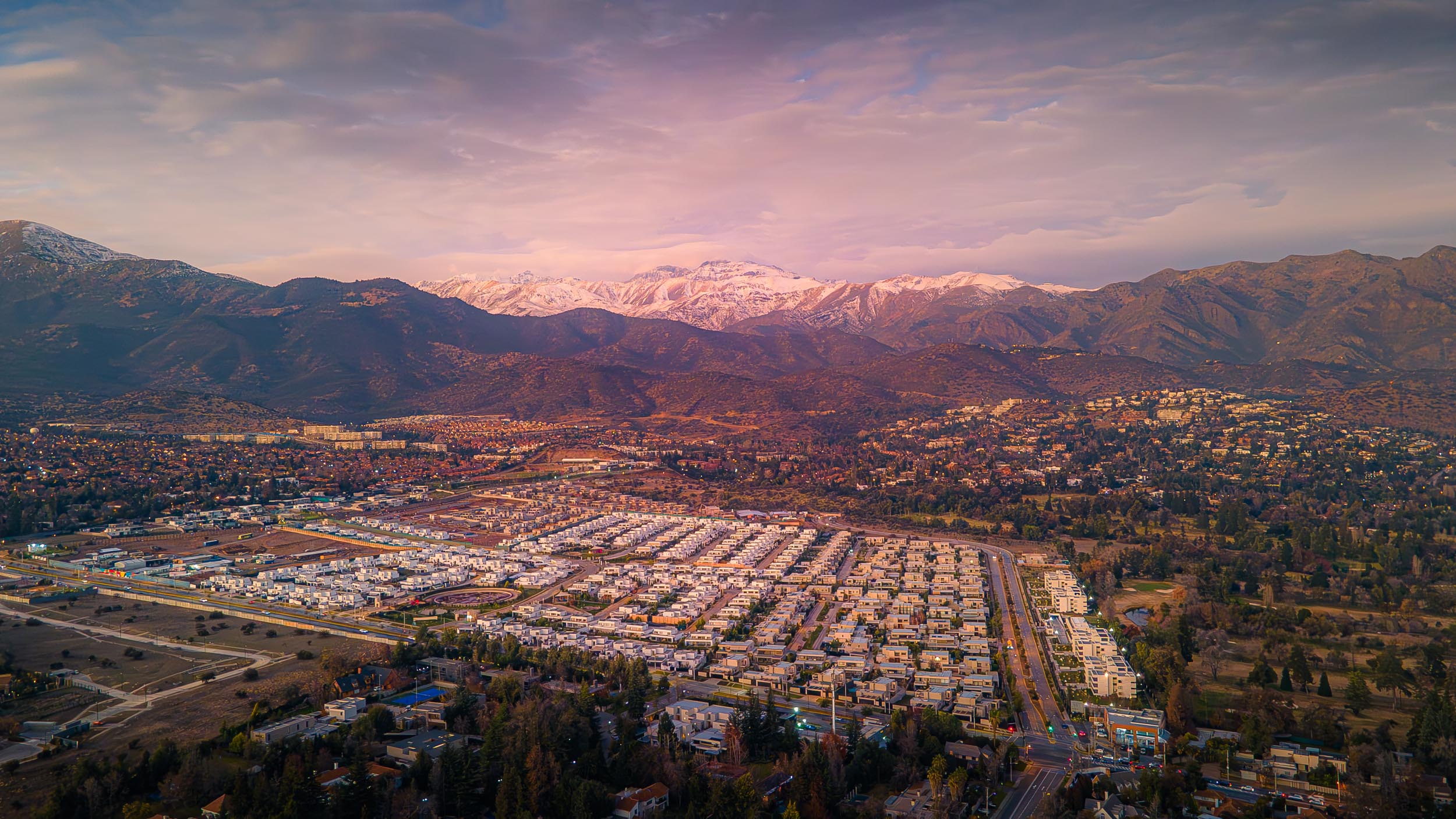
Santiago's wealthy suburbs

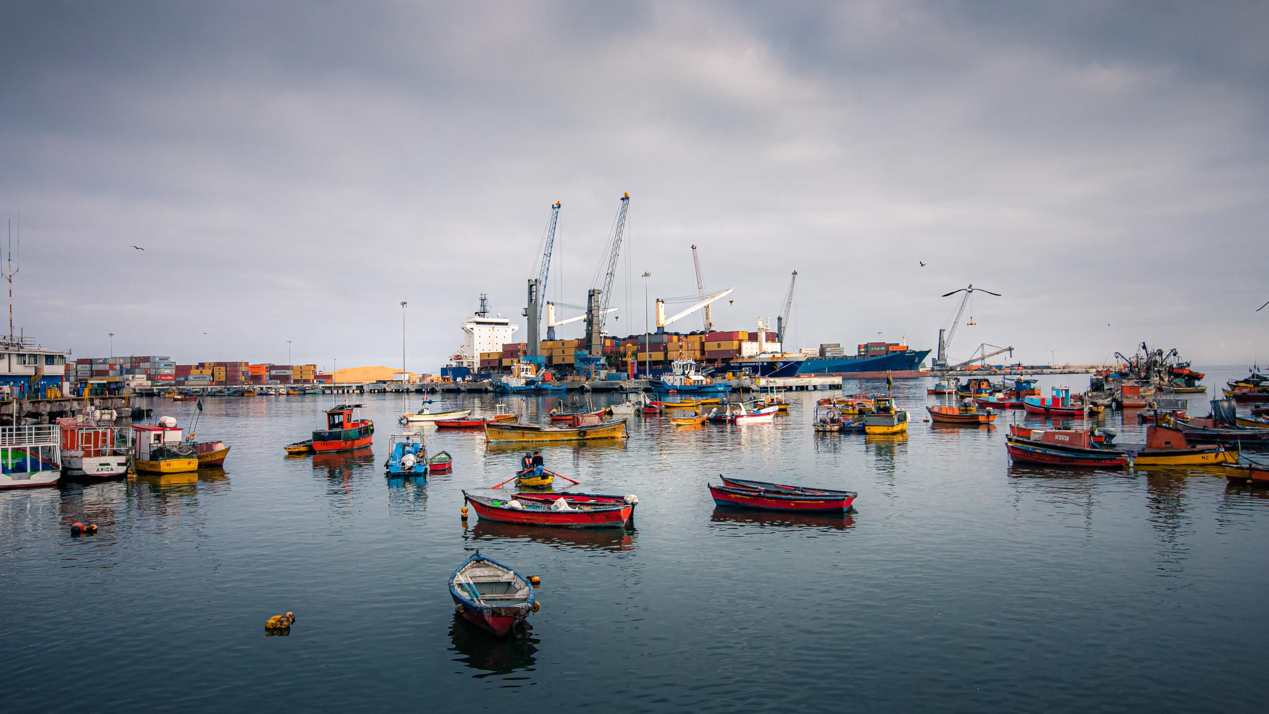
Arica
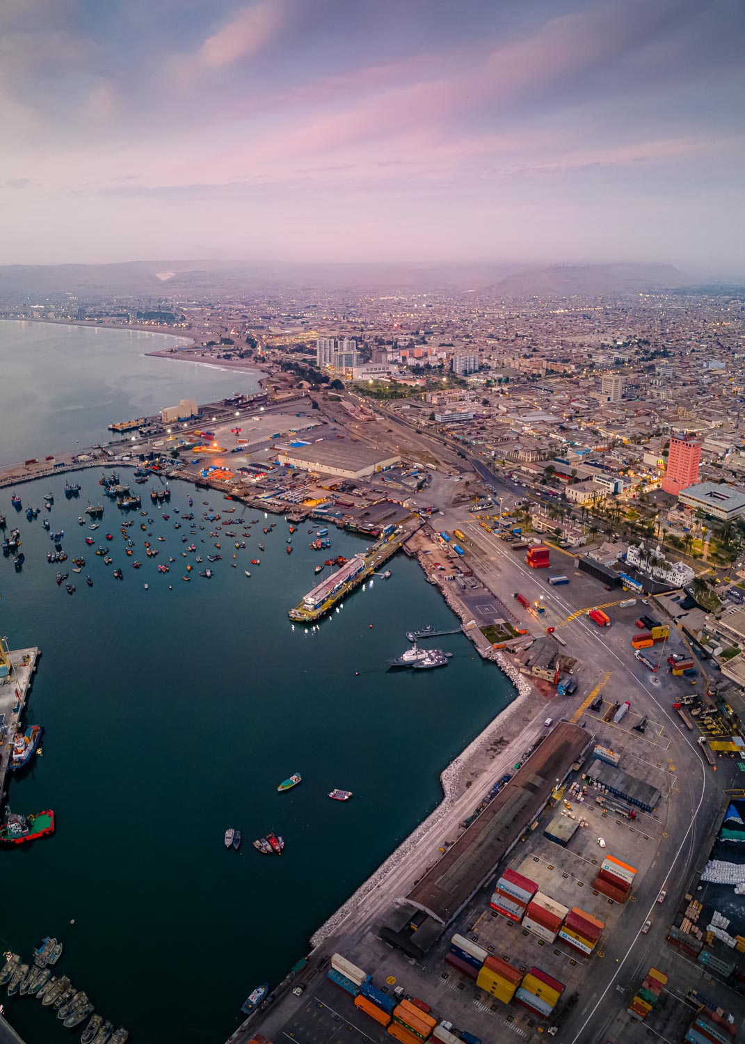
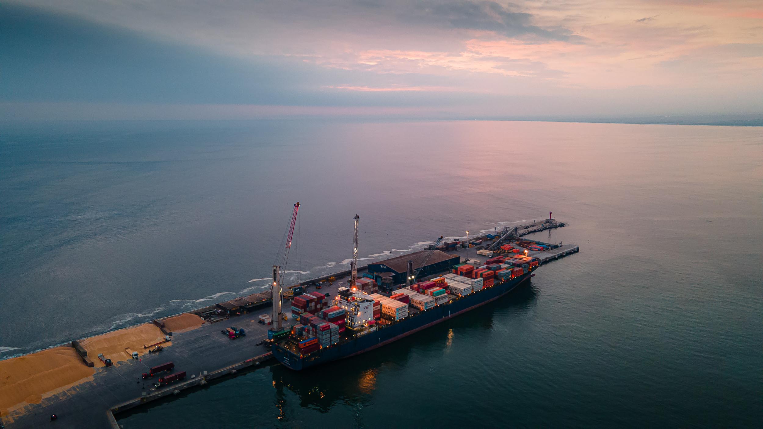
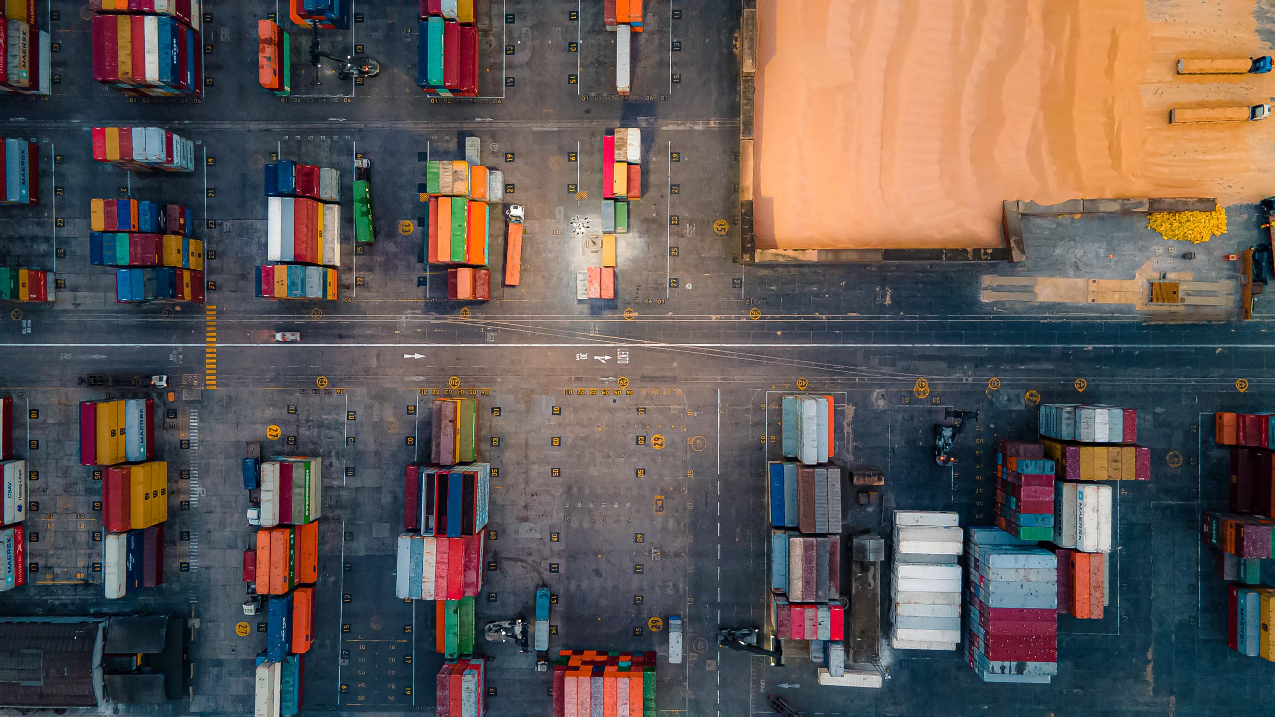
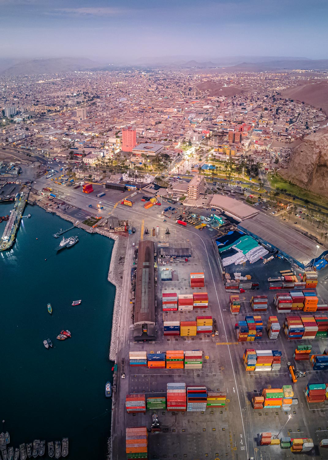
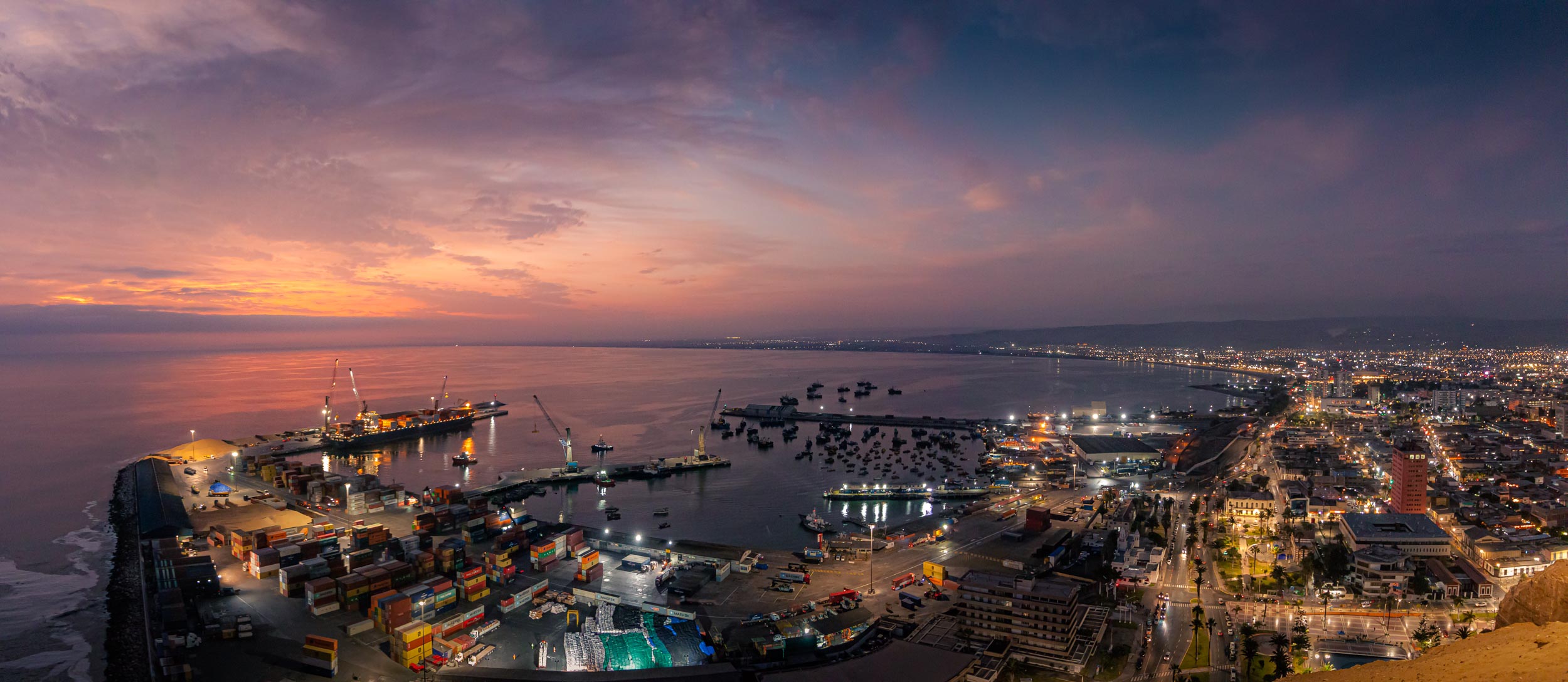
Only 18km from the Peruvian border, Arica is Chile's northernmost city and has a population of over 200,000. During the War of the Pacific in 1880, it was taken from Peru, seen a desired location because of its port. However, long before European conquest, the territory was inhabited by different native groups dating back about 10,000 years. These people were among the first to mummify their dead, even predating the Egyptians by 2,000 years. The archeological findings can be viewed and learned about in the Museo Momias Chinchorro near Arica.
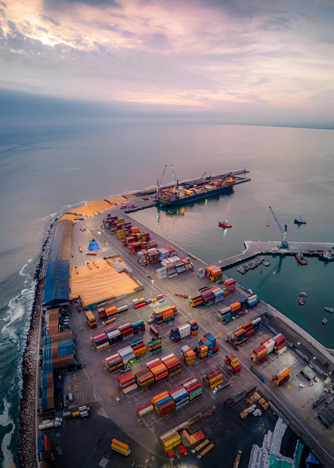
During Spanish colonial rule the city became an important port city, exporting large quantities of Silver from South America to Europe and up to this day, it is still the harbor that defines Arica. However, interestingly, it plays a much more important role for Bolivia than Chile, since Chile has Valparaíso and San Antonio as its most important port cities and Bolivia itself does not have access to the sea. Thus, a substantial amount of Bolivia's goods pass through Arica, being transported on trucks through the Andes mountains to the port. In addition, the city is also the end station of the Bolivian oil pipeline beginning in Oruro. A striking geographical feature of Arica is a 139m tall hill in the south of the city, called the Morro de Arica. During the war between Chile and Peru, it served as the last point of defense for the Peruvian army and was eventually captured by the Chilean force. Nowadays, there is a gigantic Chilean flag which sits on top of the hill, 27x18 meters big and mounted on a 42m tall flag pole, declaring definitively that this territory now belongs to Chile. On a completely different note, Arica was also one of the host cities of 1962 FIFA World Cup and regularly hosts surf events and competitions.
Text adapted from Wikipedia.org
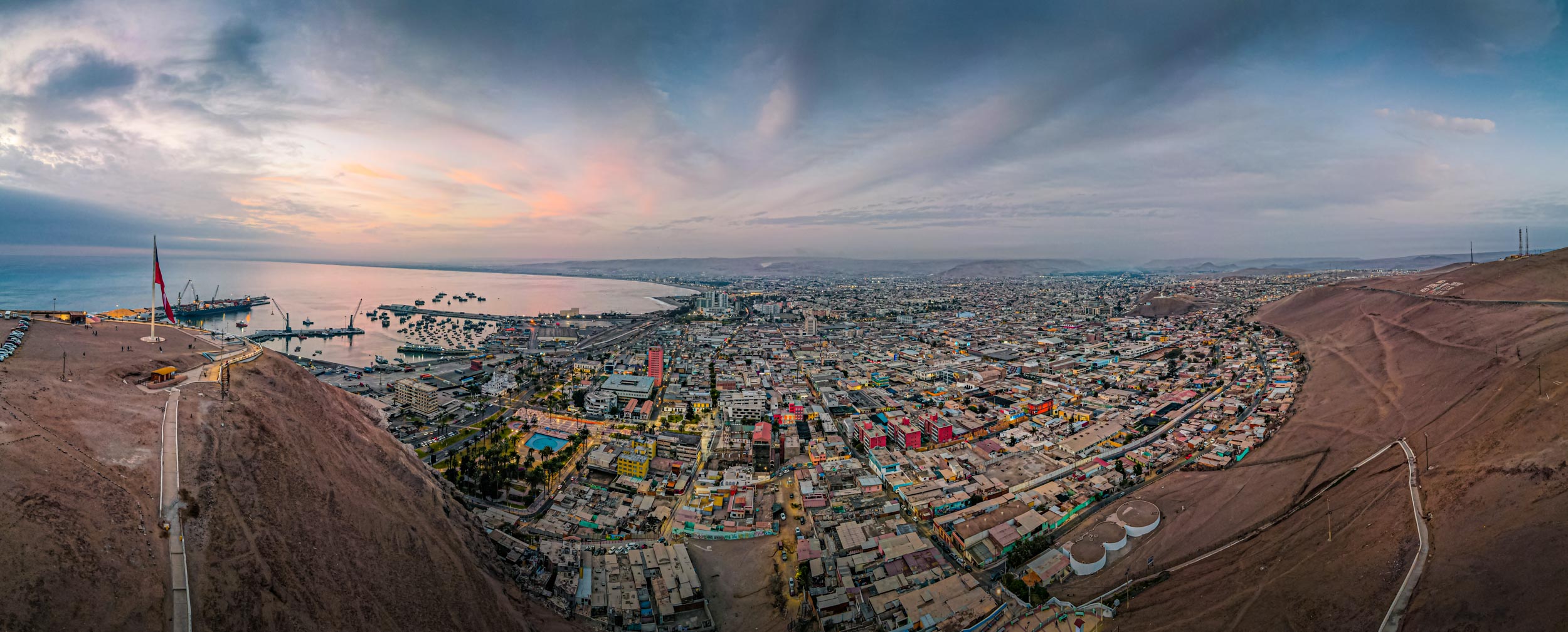
View from the Morro de Arica
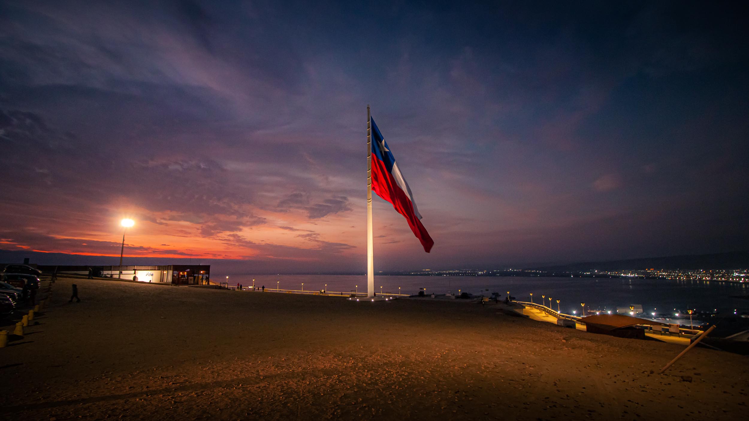
The 42m tall flag on the Morro de Arica.


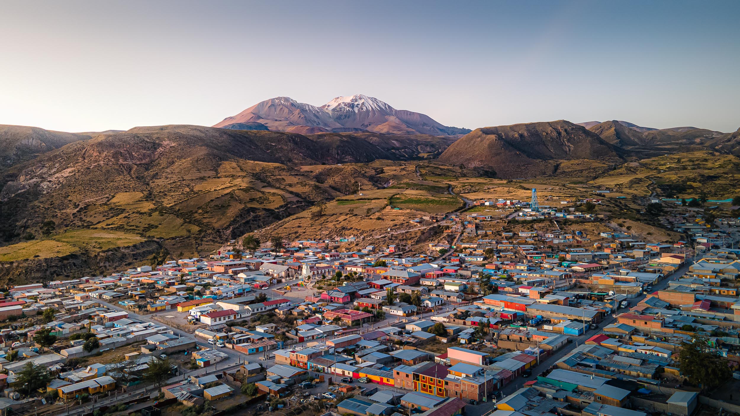
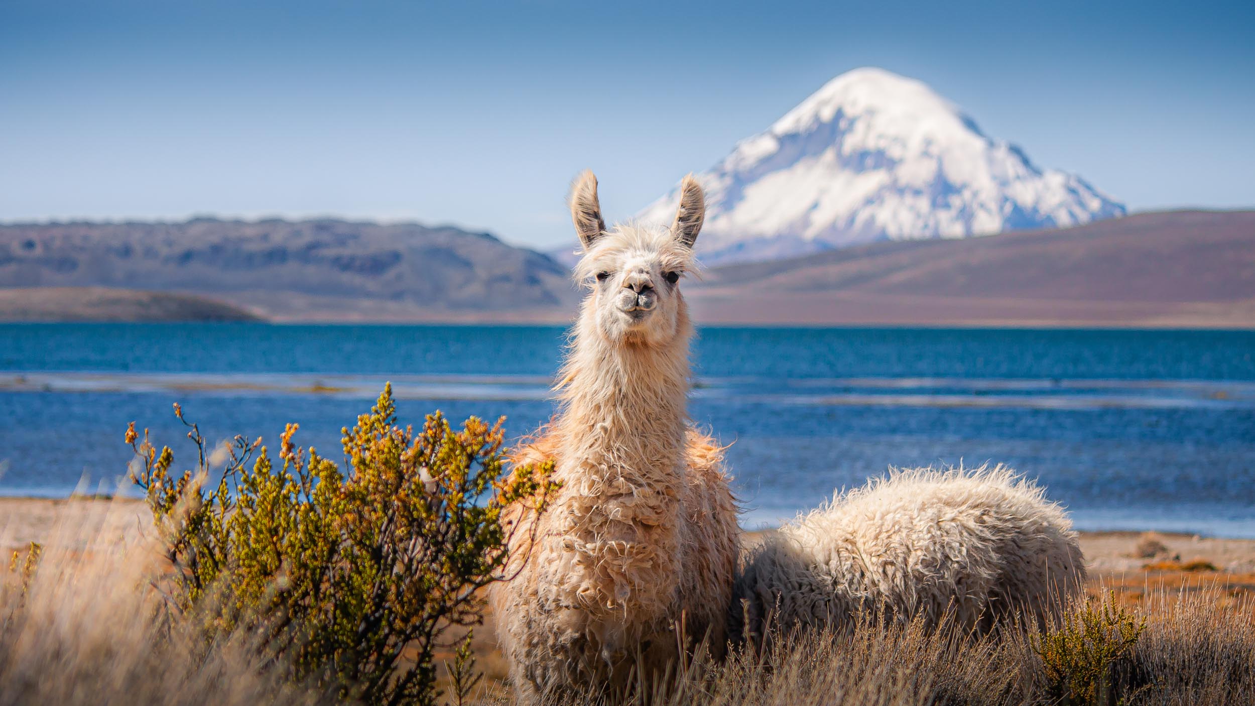
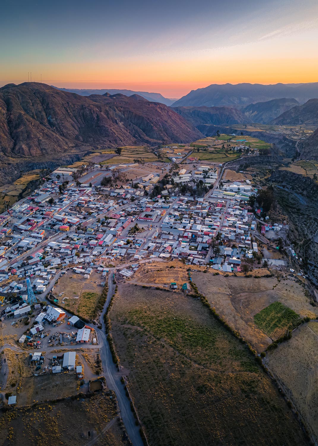
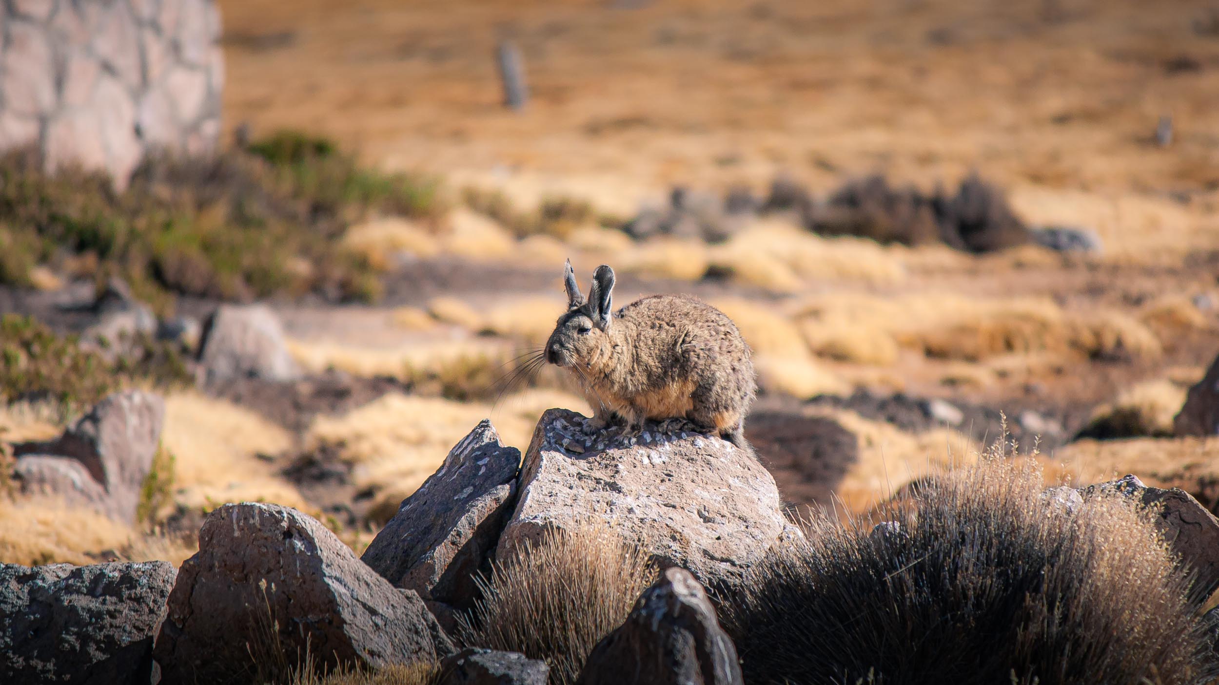
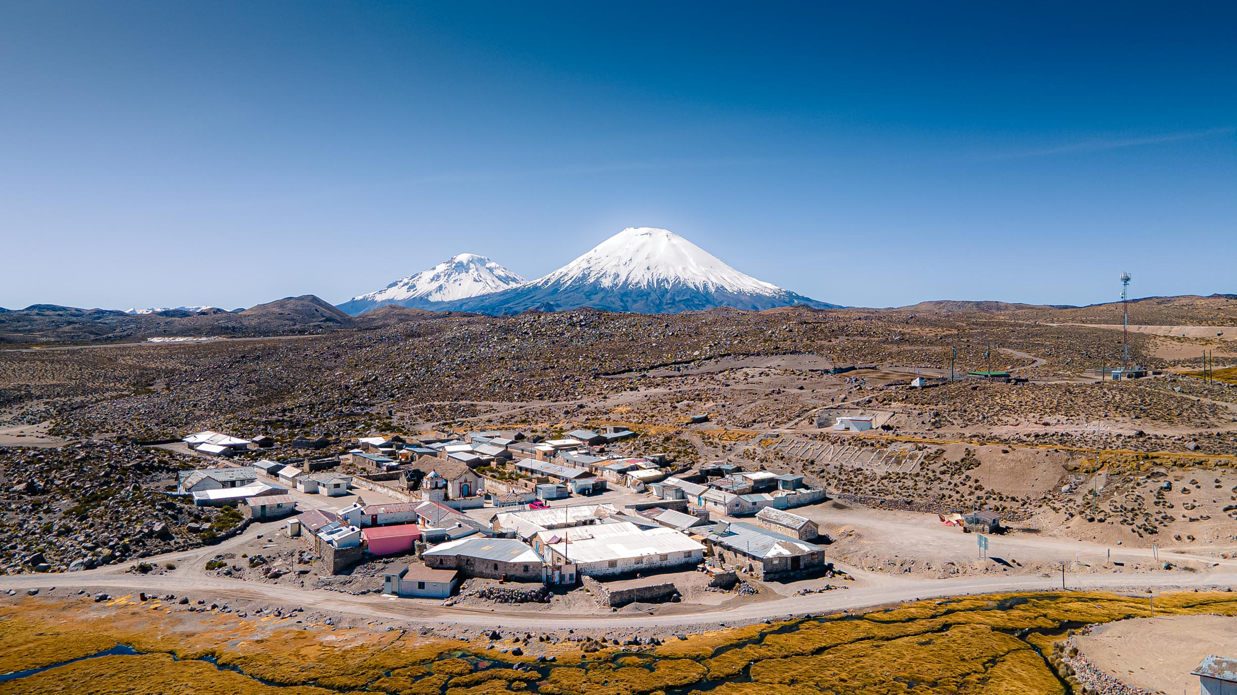
The small town of Putre (4000m altitude) and the Taapacá Volcano (5860m)
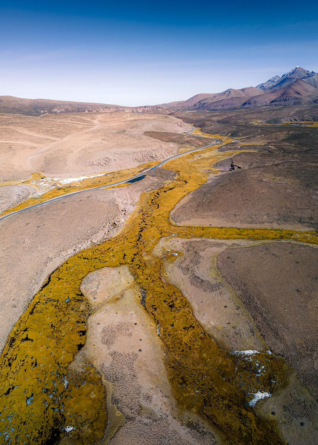
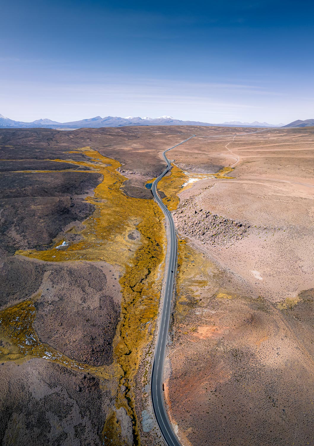
Chilean National Road 11 heading towards Bolivia at a max altitude of over 4500m
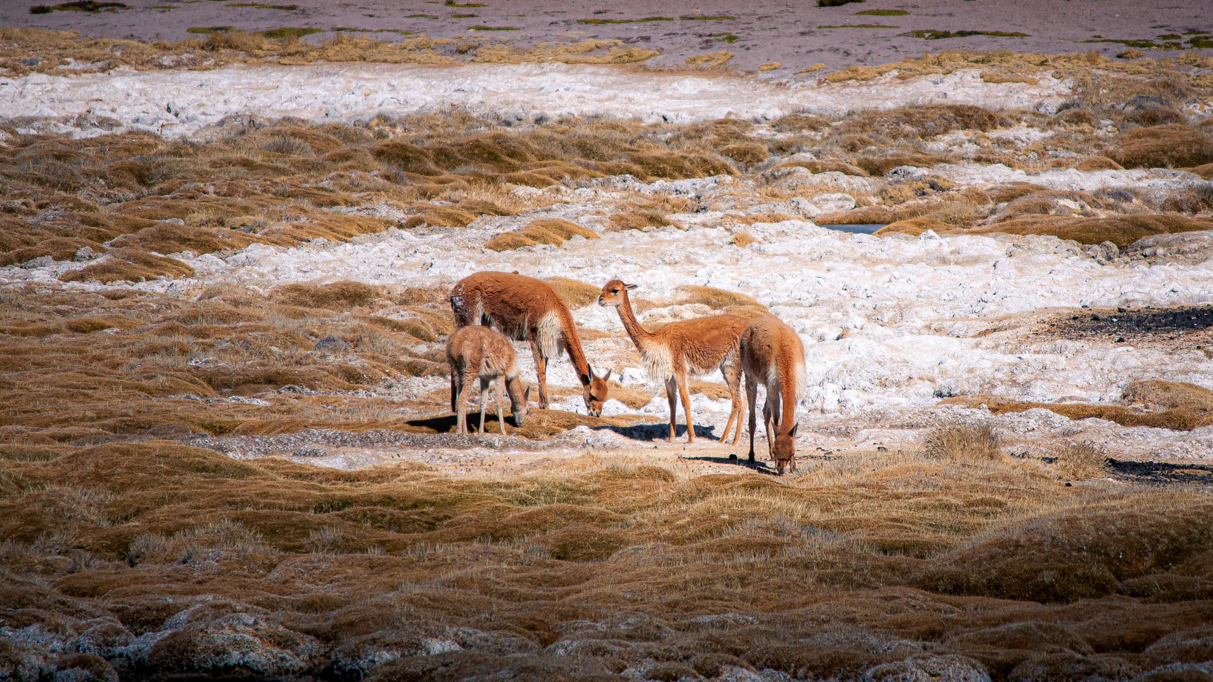
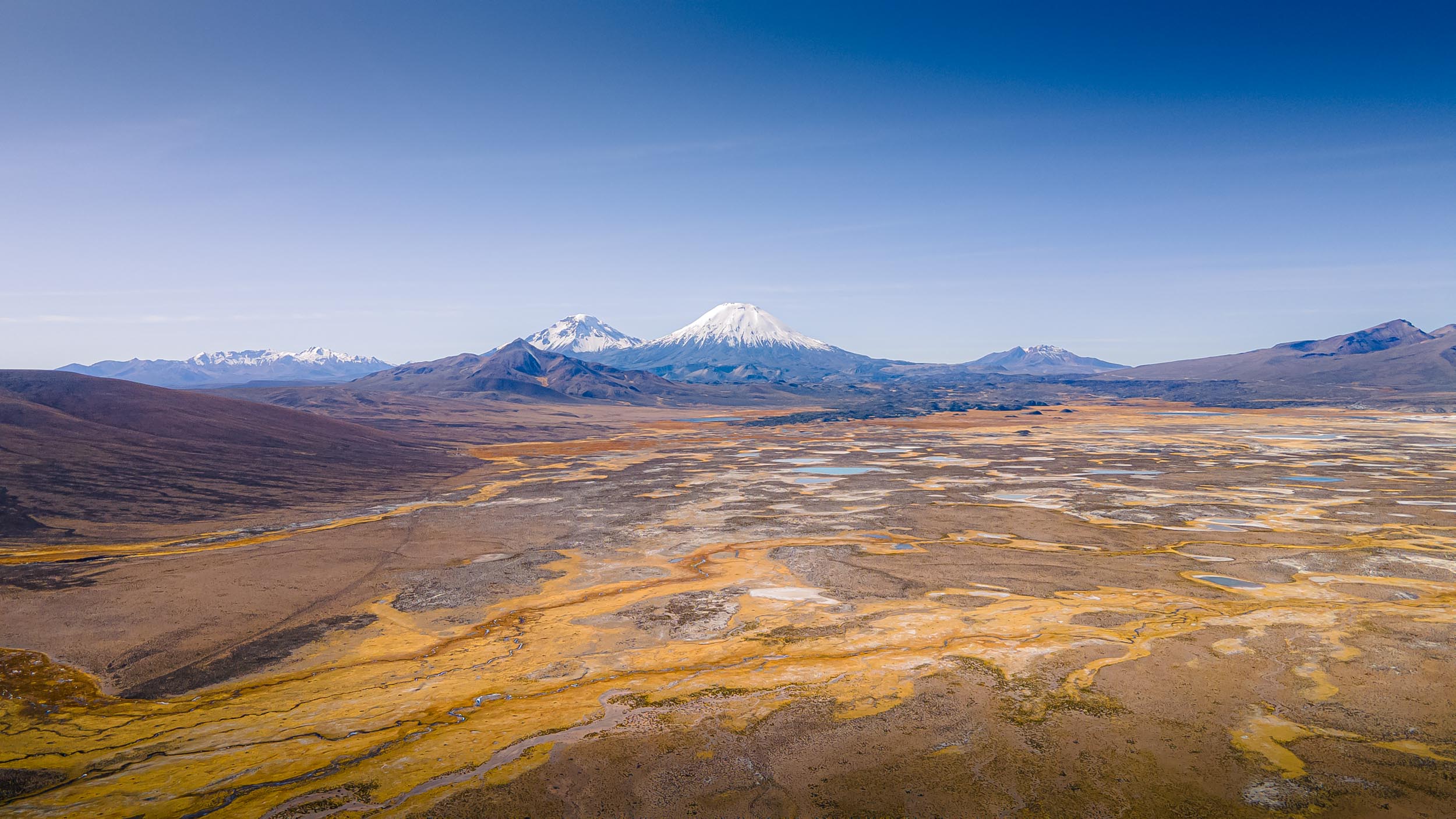
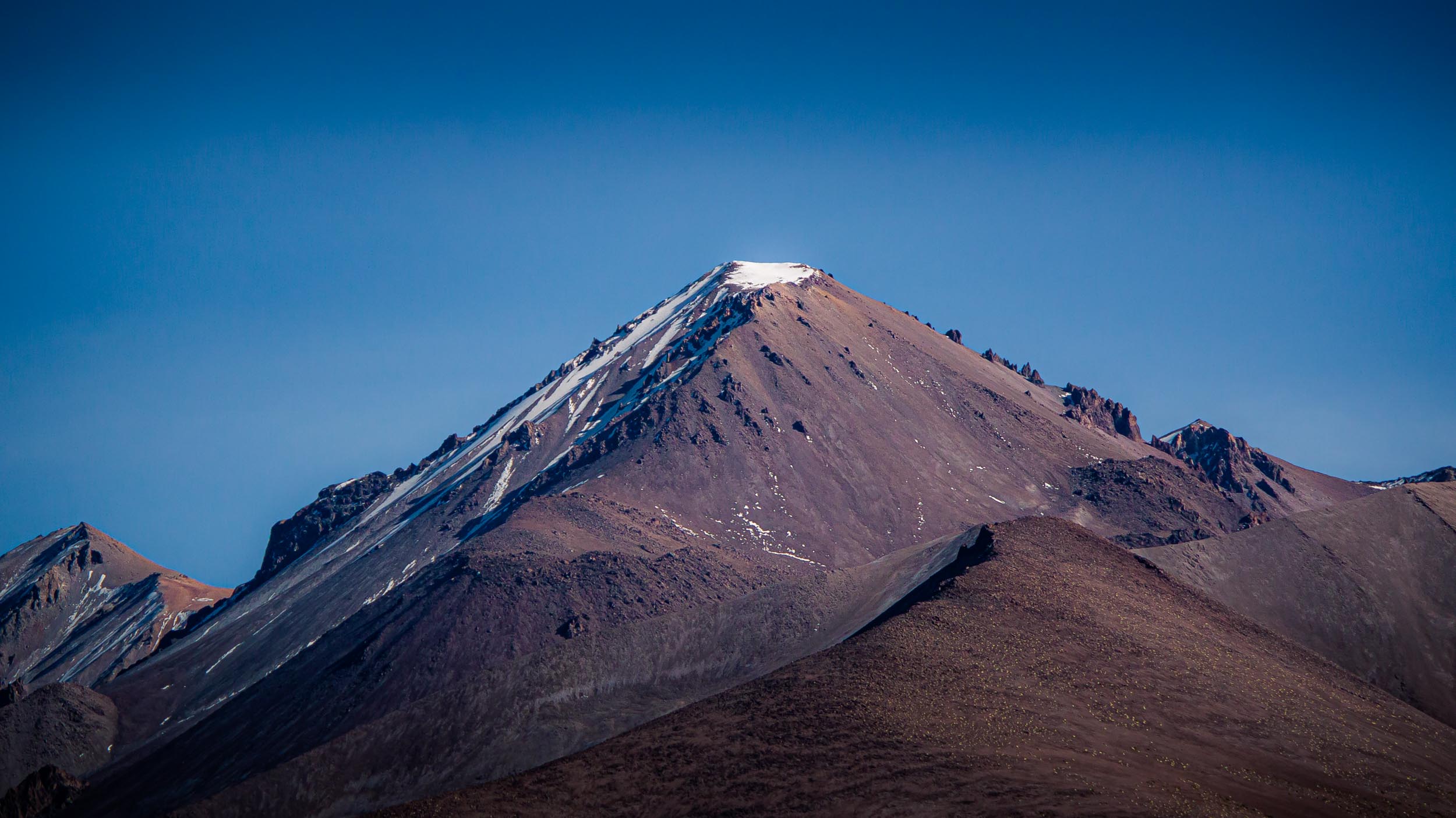

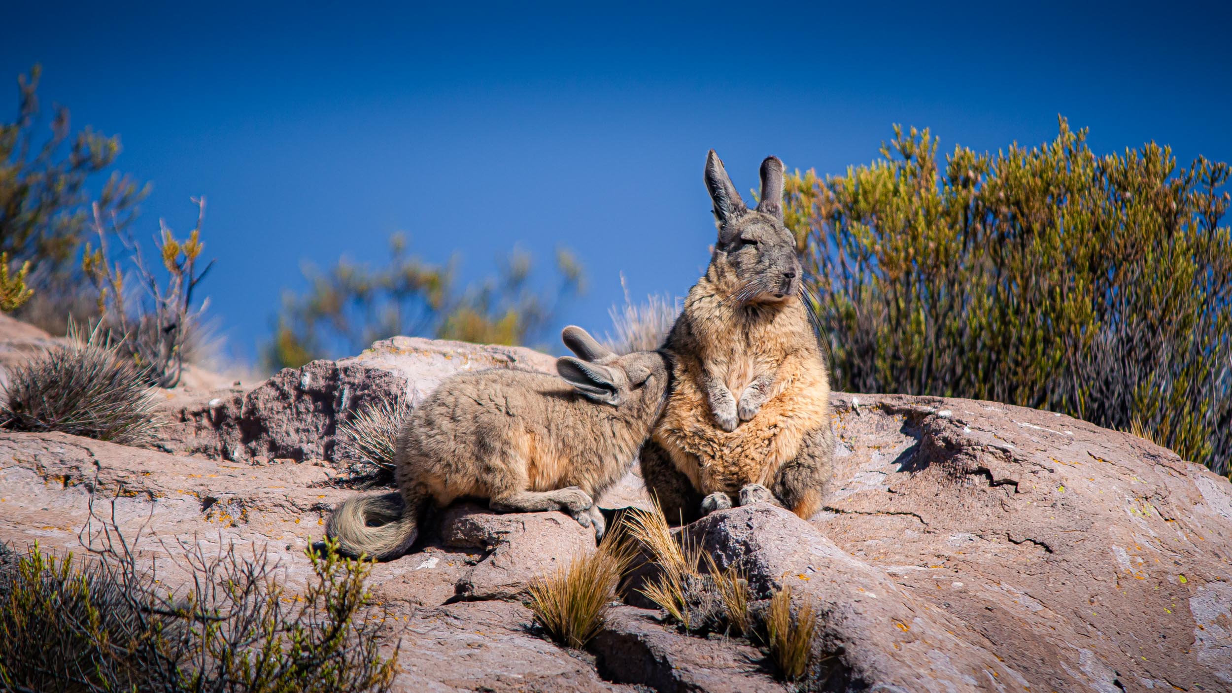


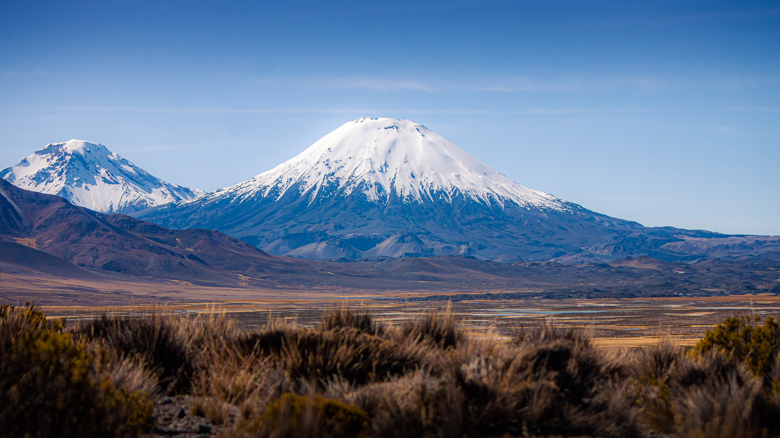
The Parinacota Volcano (6380m)
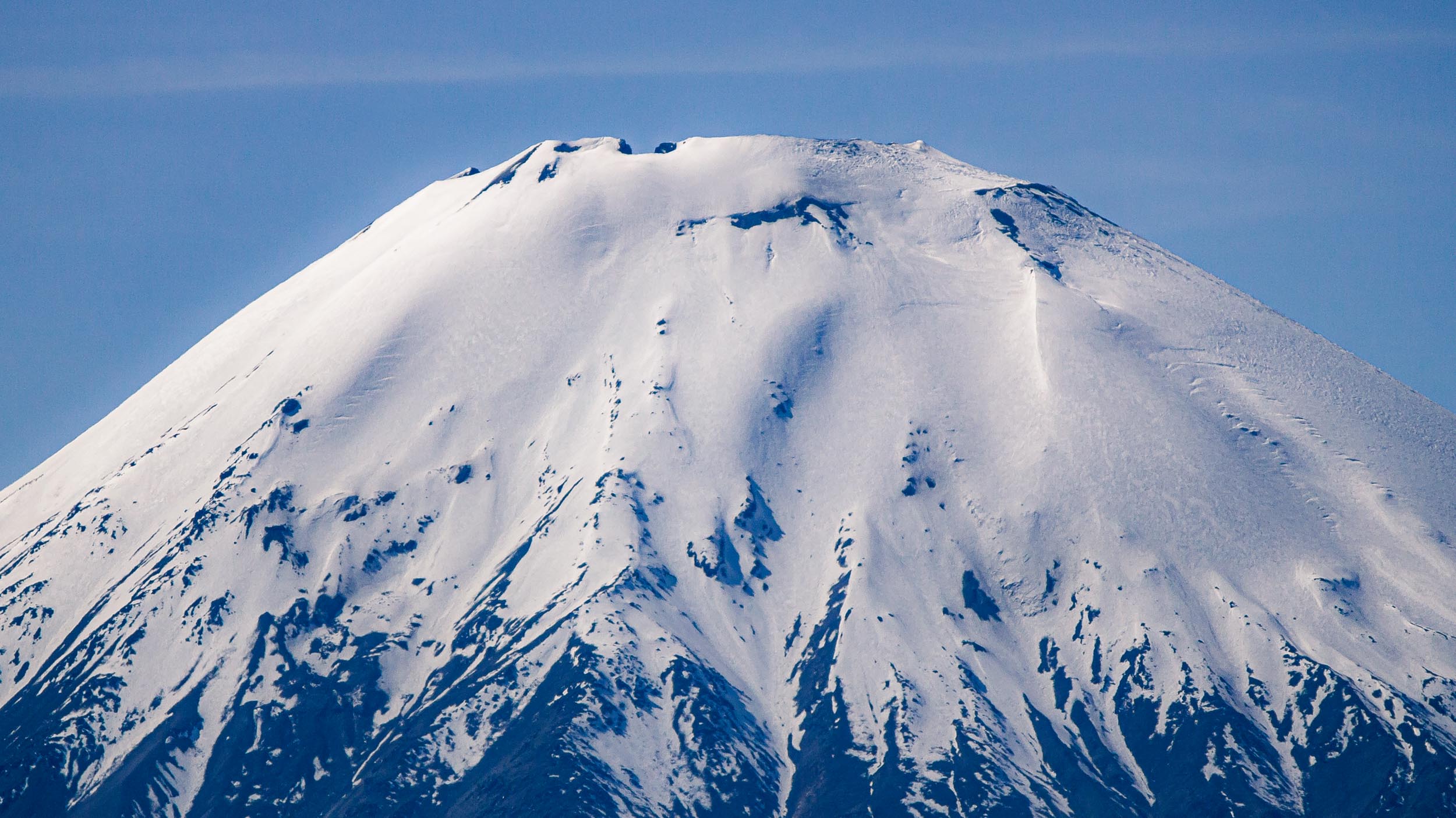
Its last eruption was more than 200 years ago
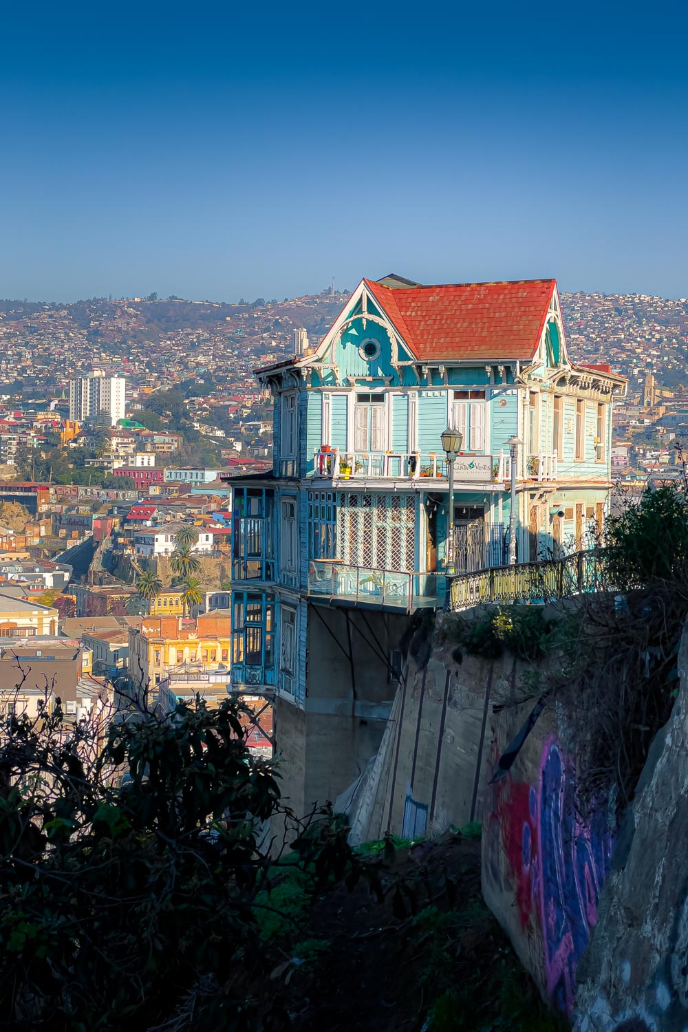
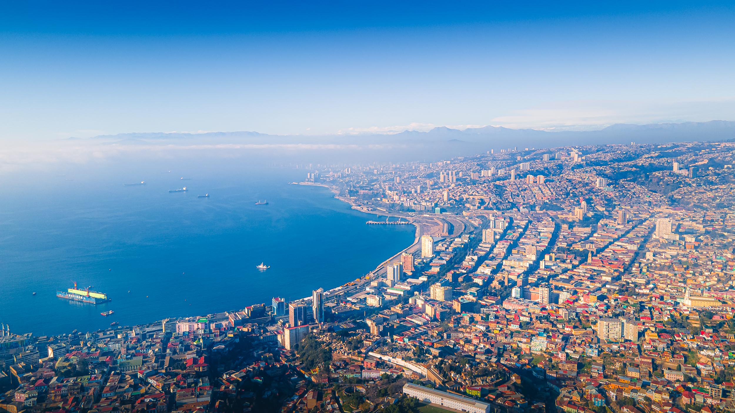
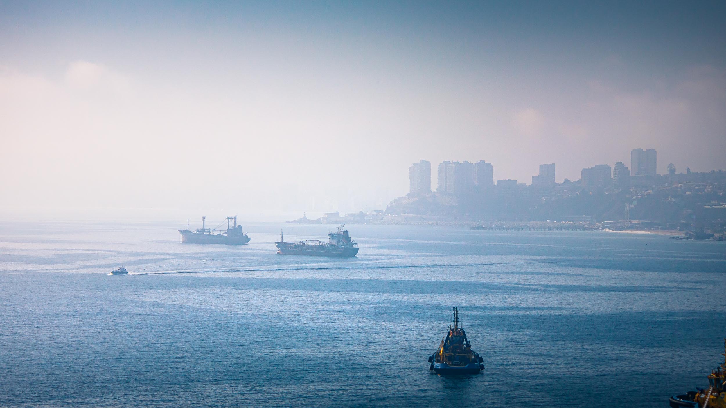
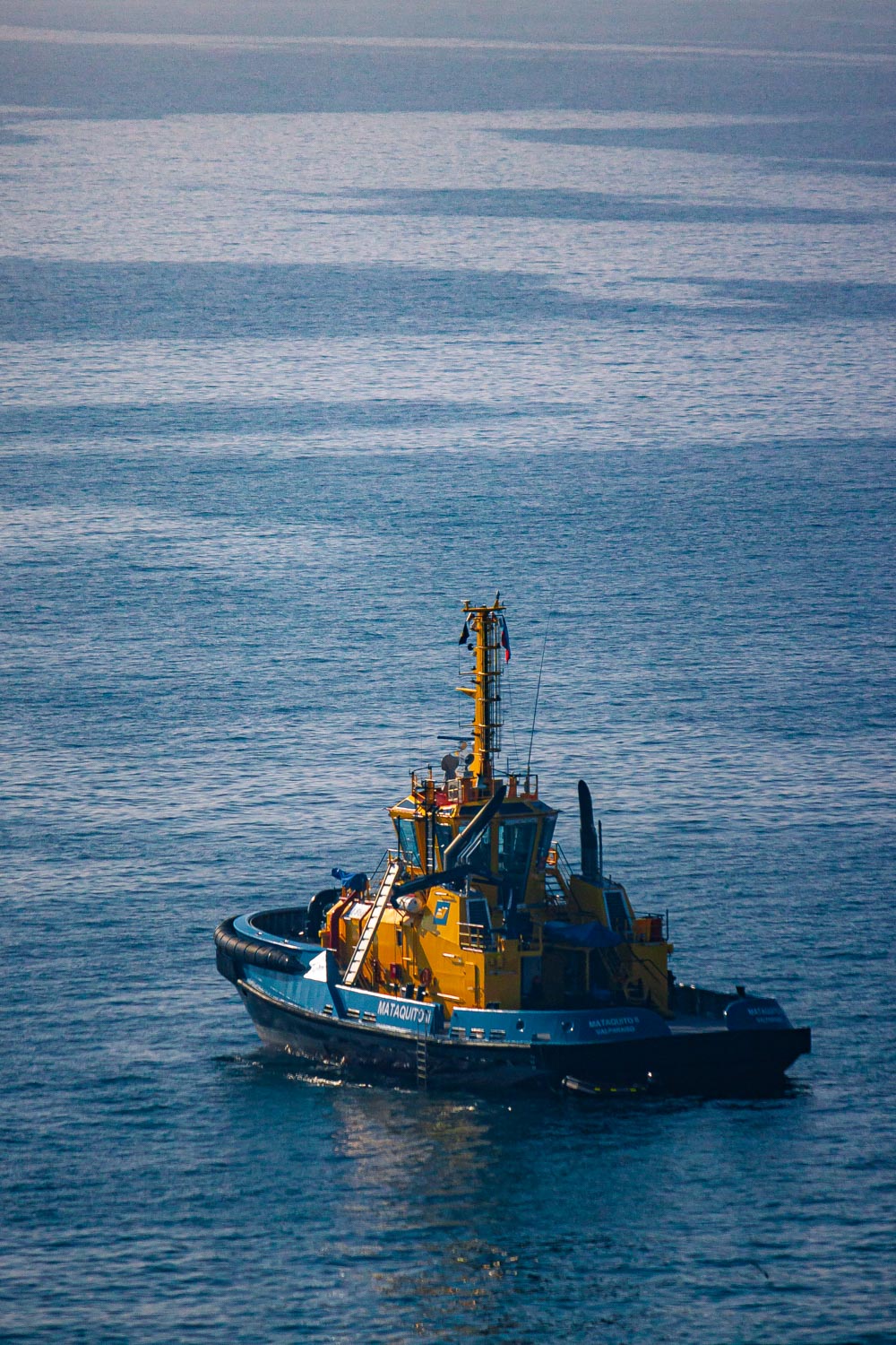
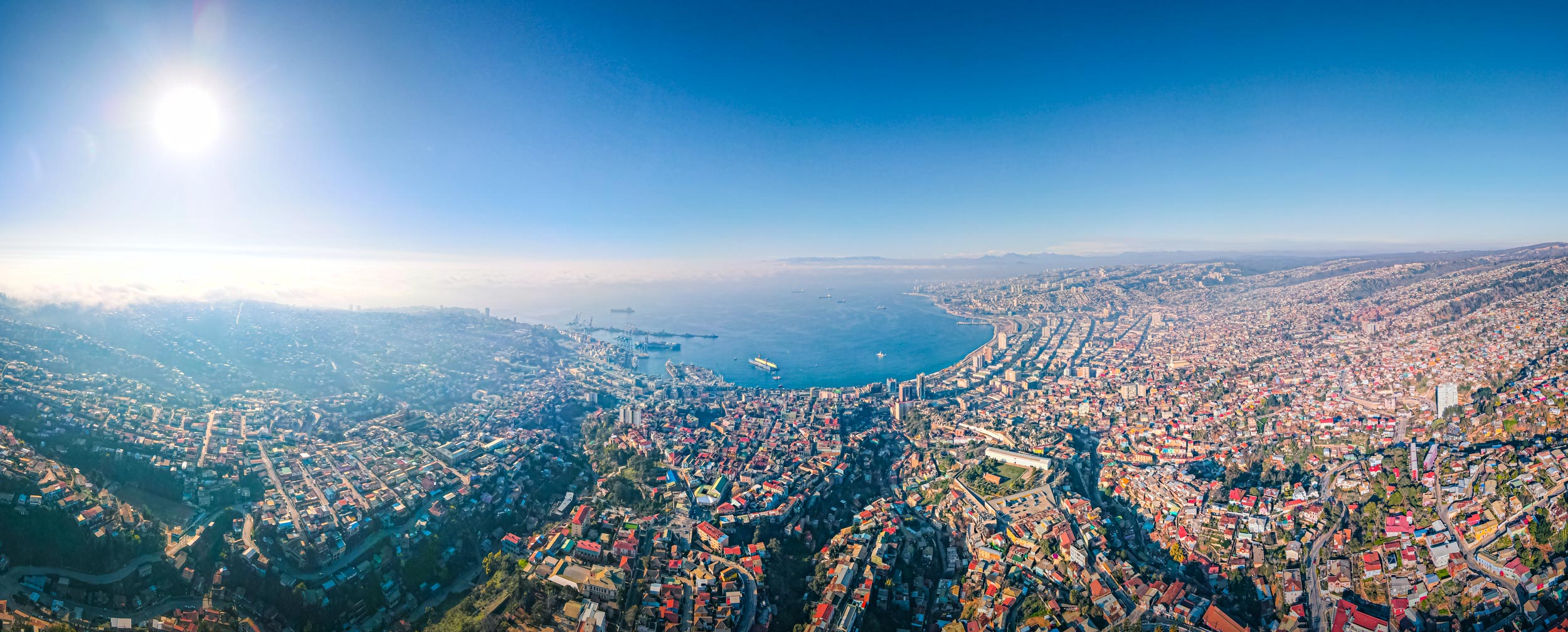
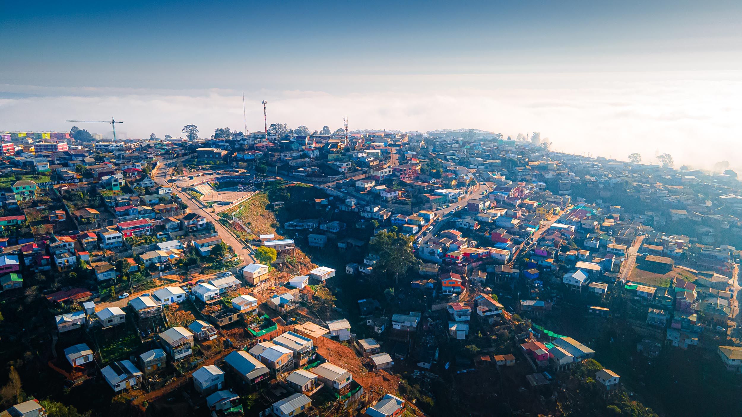
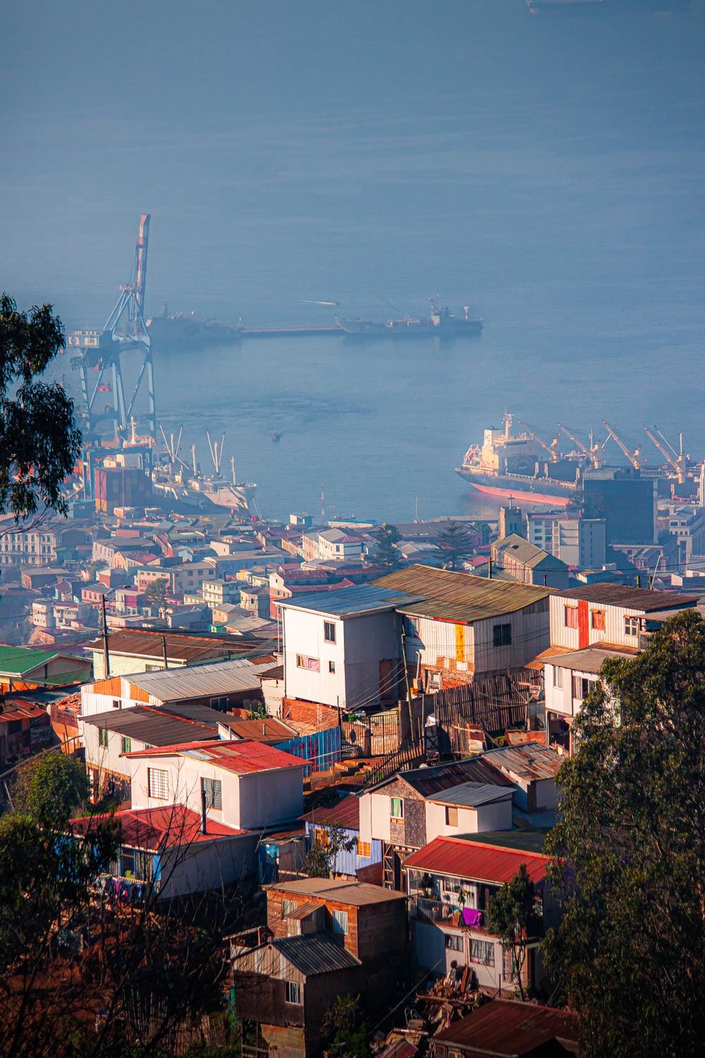
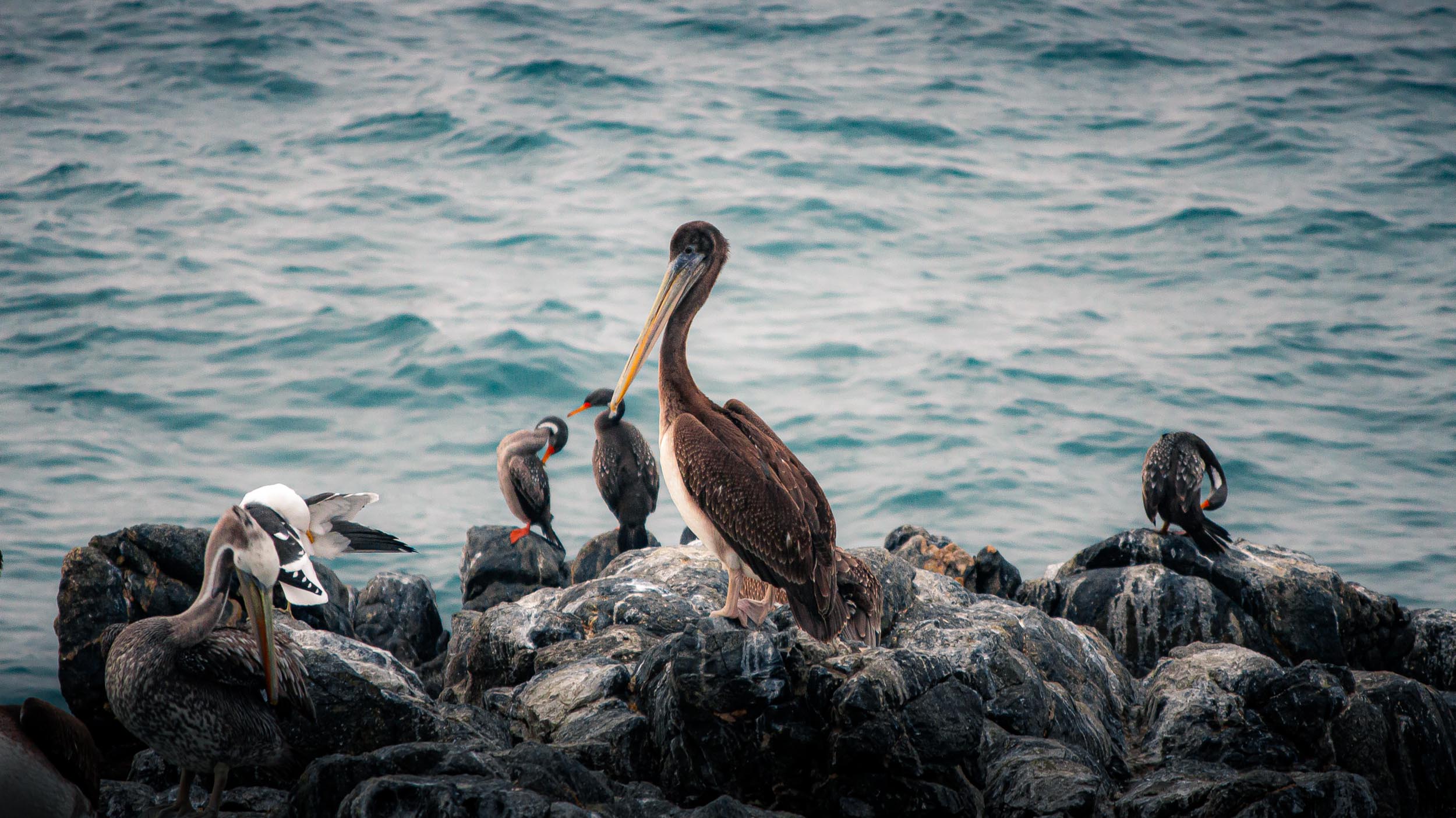
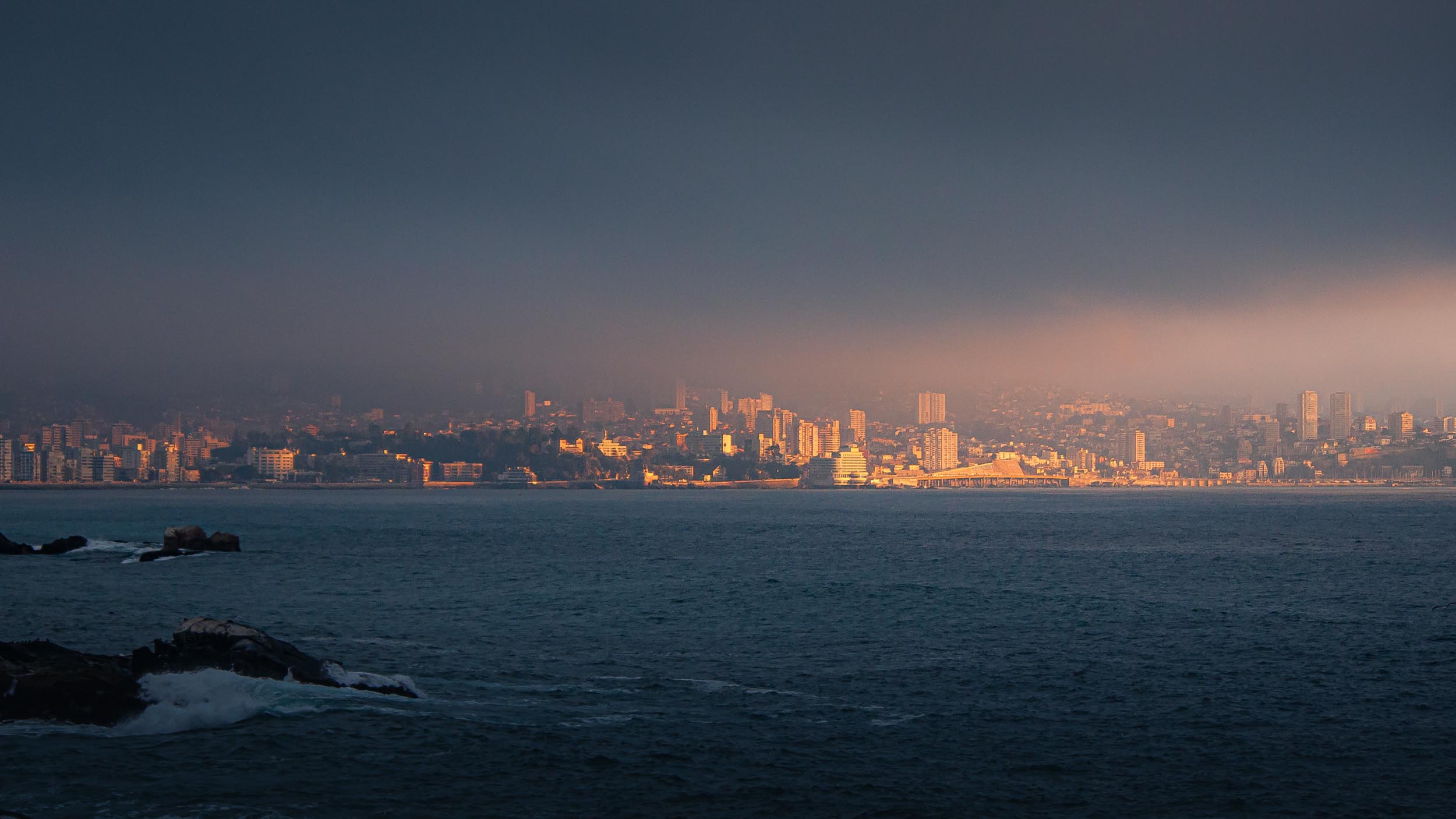
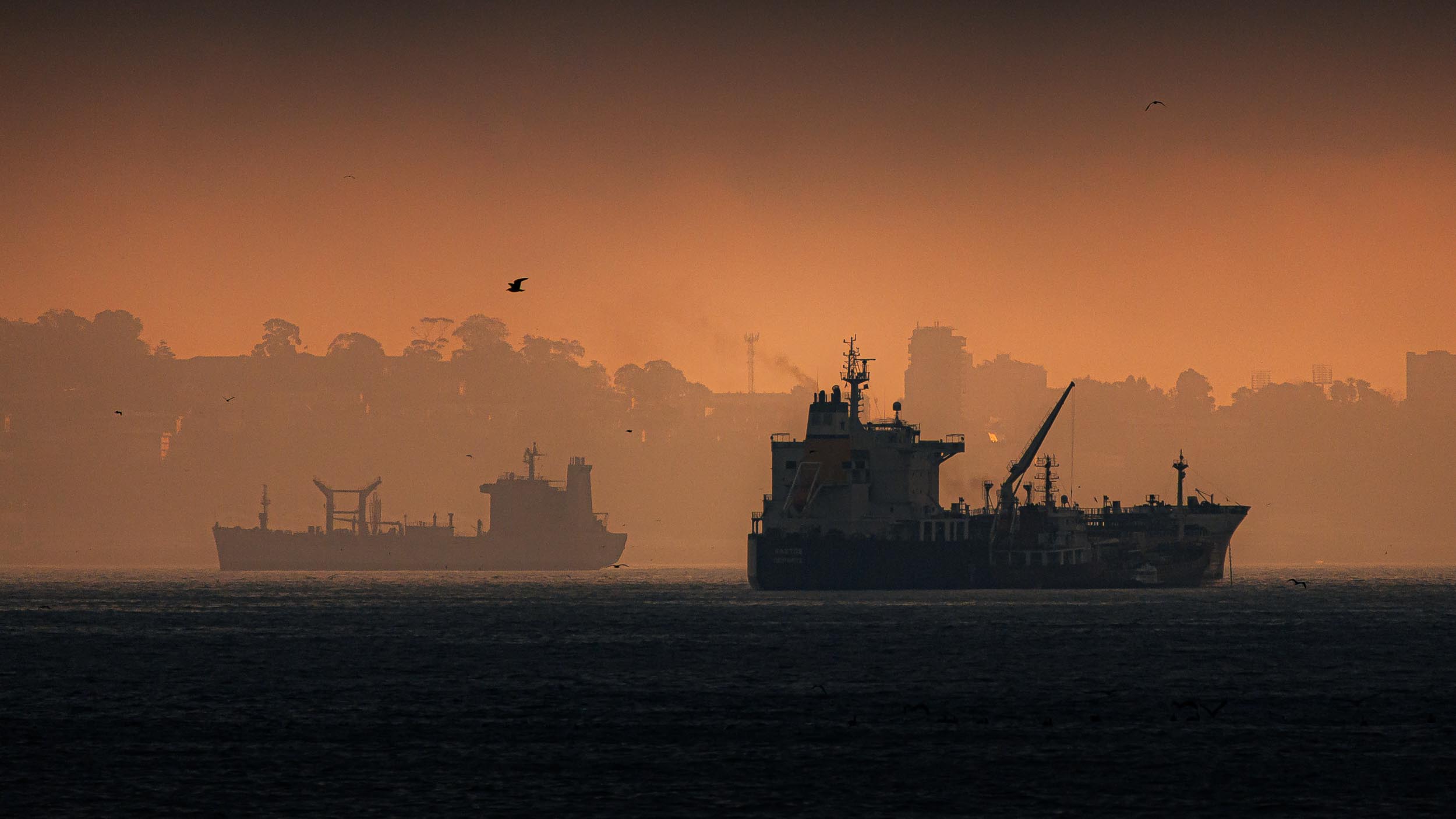
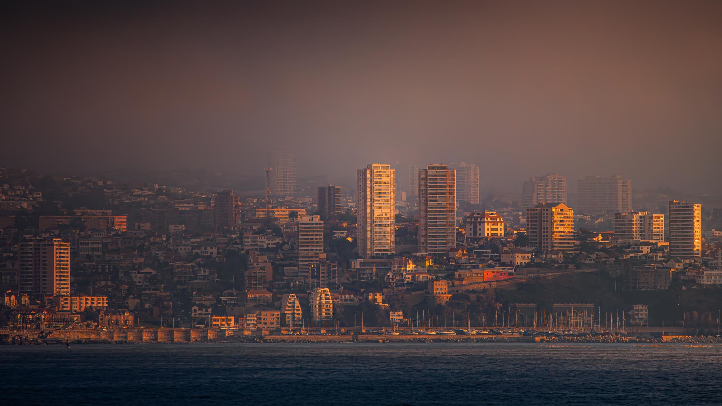
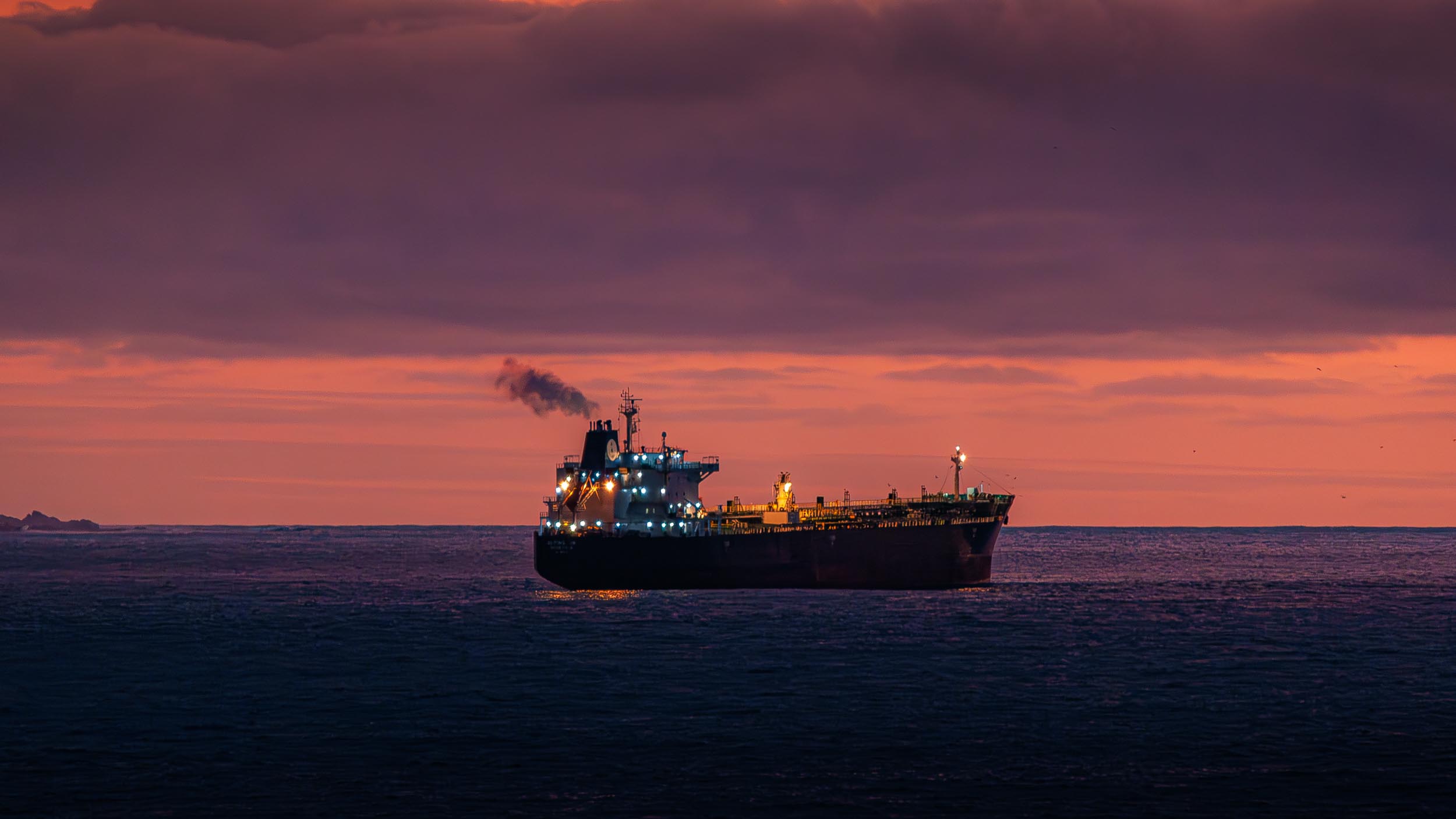
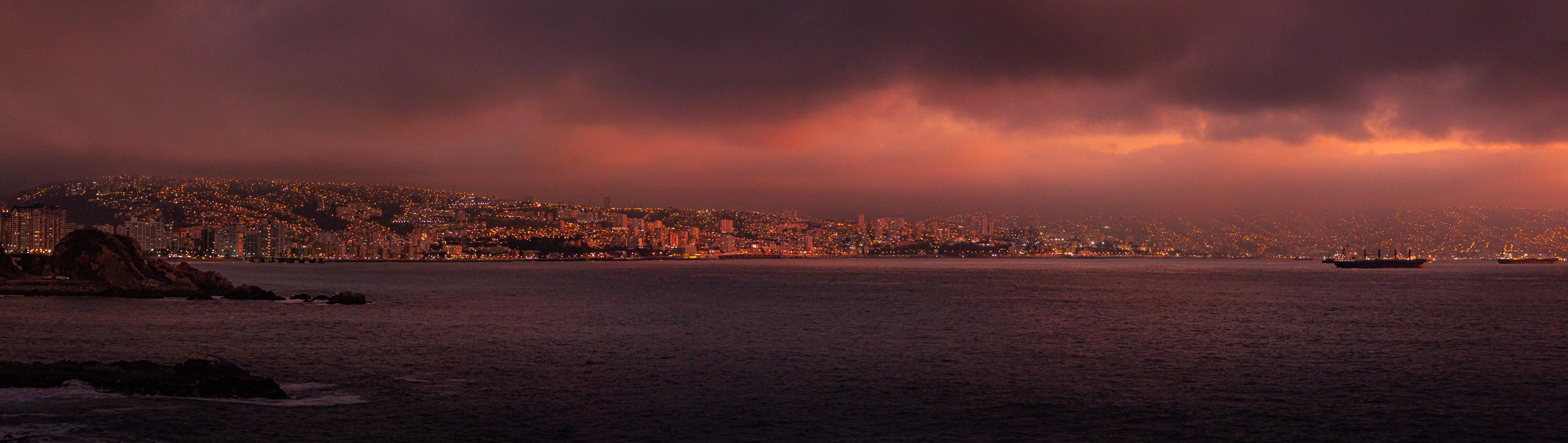
Valparaíso
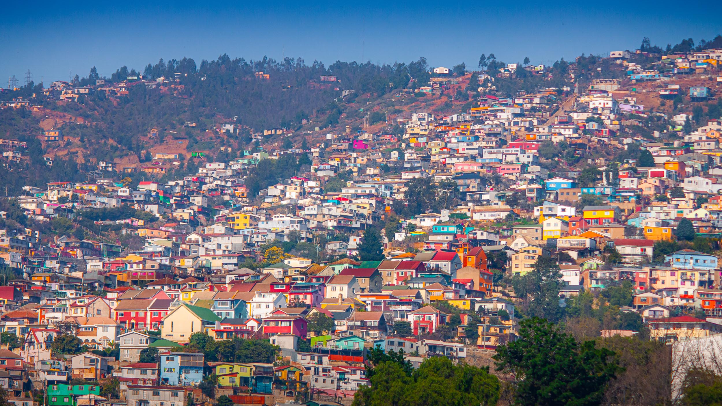
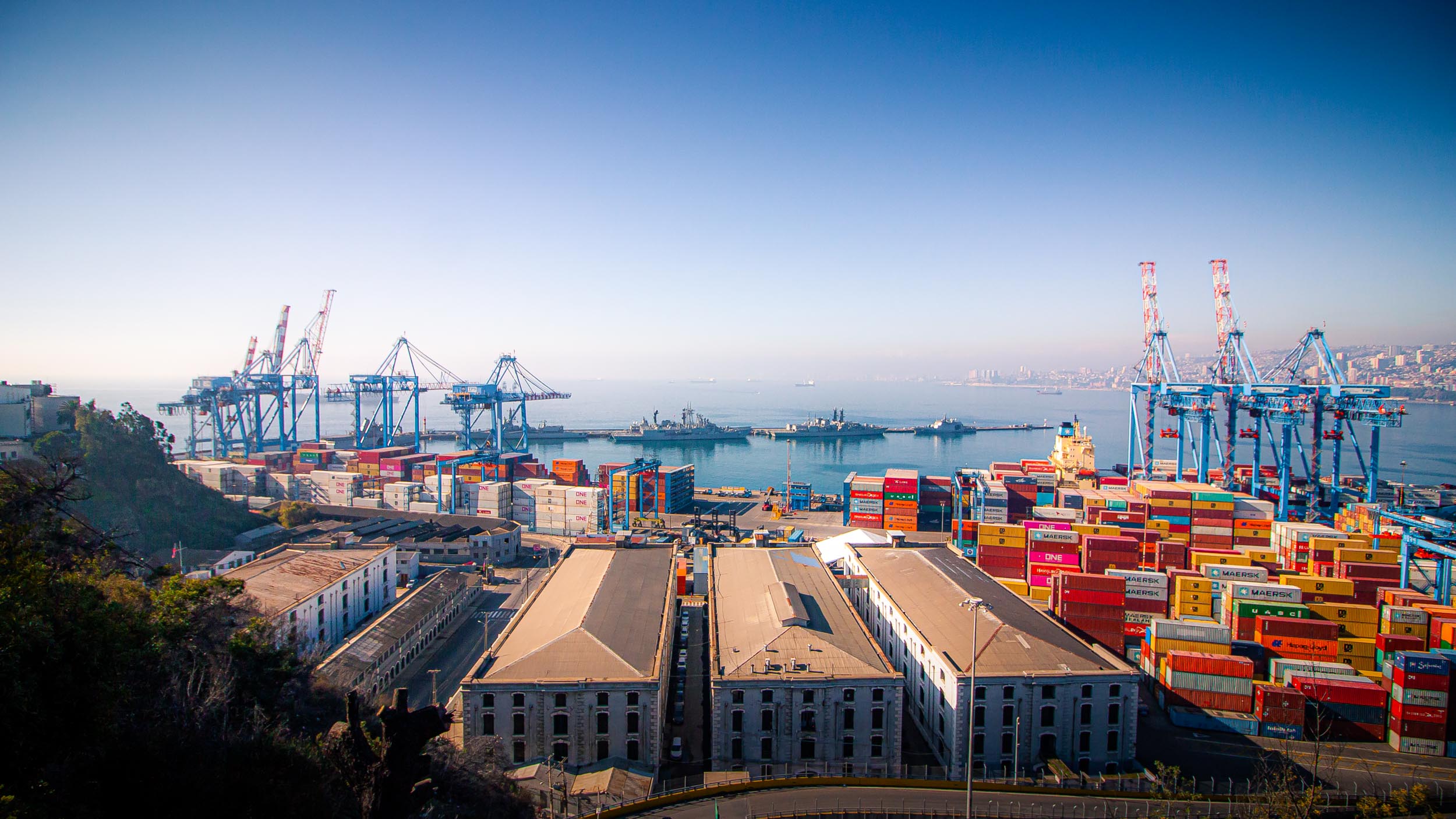
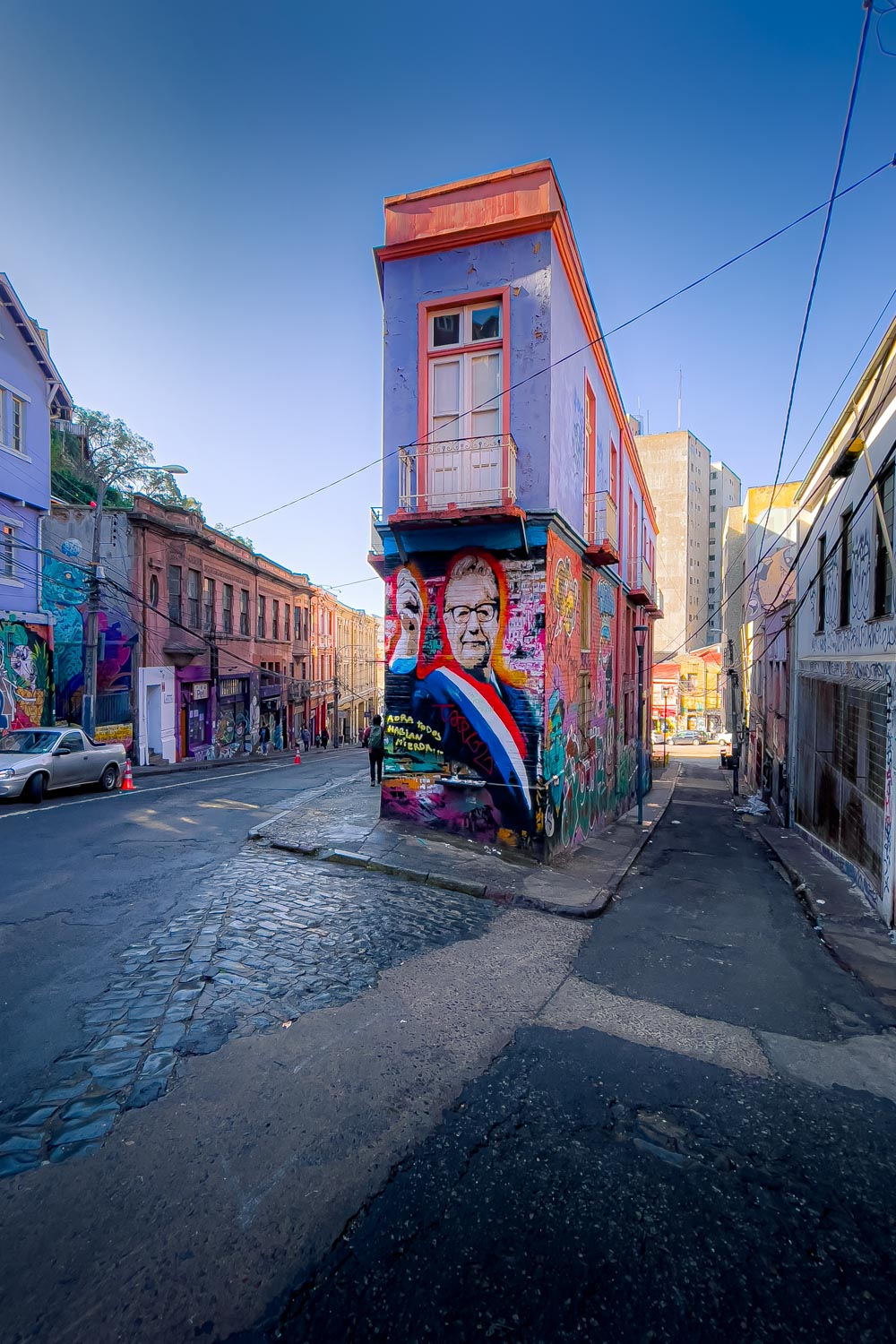
Only about an hour's drive away from Santiago, Valparaíso is a major port city that lies on the Pacific. It was founded in 1536 and has a population of about 300,000 people. Though it's still important today, Valparaíso played a bigger role in the past, serving as the main port of Chile and being a popular destination for immigrants. Nowadays, its focus lies more on attracting tourists and it is known for its bohemian culture.
The city is very hilly and features many cobblestone alleyways that snake themselves up these hills. The historic part of town is also under UNESCO World Heritage protection since 2003. Previously, only the historic funiculars of Valparaíso had been under such protection. These cablecars can be found all around the city and offer quick and easy transportation up and down the steep hills. The oldest of these opened in 1883 and still operates to this day, along with eleven others. After Chile's independence in 1818, Valparaíso became the main harbor of the Chilean Navy and opened up to international trade. Soon after, it became a desired stopover for ships rounding South America via the Straits of Magellan and Cape Horn and also gained particular importance supporting and supplying the Californian Gold Rush in the mid-nineteenth century. During this time, the city also welcomed more and more immigrants from countries such as Britain, Germany, France, Switzerland and Italy. In 1914, the Panama Canal opened and caused a great reduction in port activity as the city lost its previously vital role as a stop-over for ships going from the North Atlantic to the Pacific.
Text adapted from Wikipedia.org