Tucumán
The province of Tucumán is located to the south of Salta. With 64 people per km² it is the most densely populated province in Argentina and with 22,524 km² the second smallest by land area. It has a population of 1.6 million people of which over 600,000 live in its capital, San Miguel de Tucumán. The average temperature in the province is 18°C, though at higher altitudes, such as at 2500 m, this drops to about 12°C.
Tucumán's nickname is "Garden of the Republic", as its precipitation levels are very high compared to the rest of the country, allowing for a highly productive agricultural sector. Its agricultural output mainly consists of sugarcane, with sugar mills comprising about 15% of the total economy. Before Spanish colonization, the province was inhabited by the Diaguitas and Tonocotes. Tucumán's highest peak is the Cerro del Bolsón at an altitude of 5,500 m, and its main river the Salí. It also has four hydroelectric dams which are an important source of power for the province.
Tafí del Valle
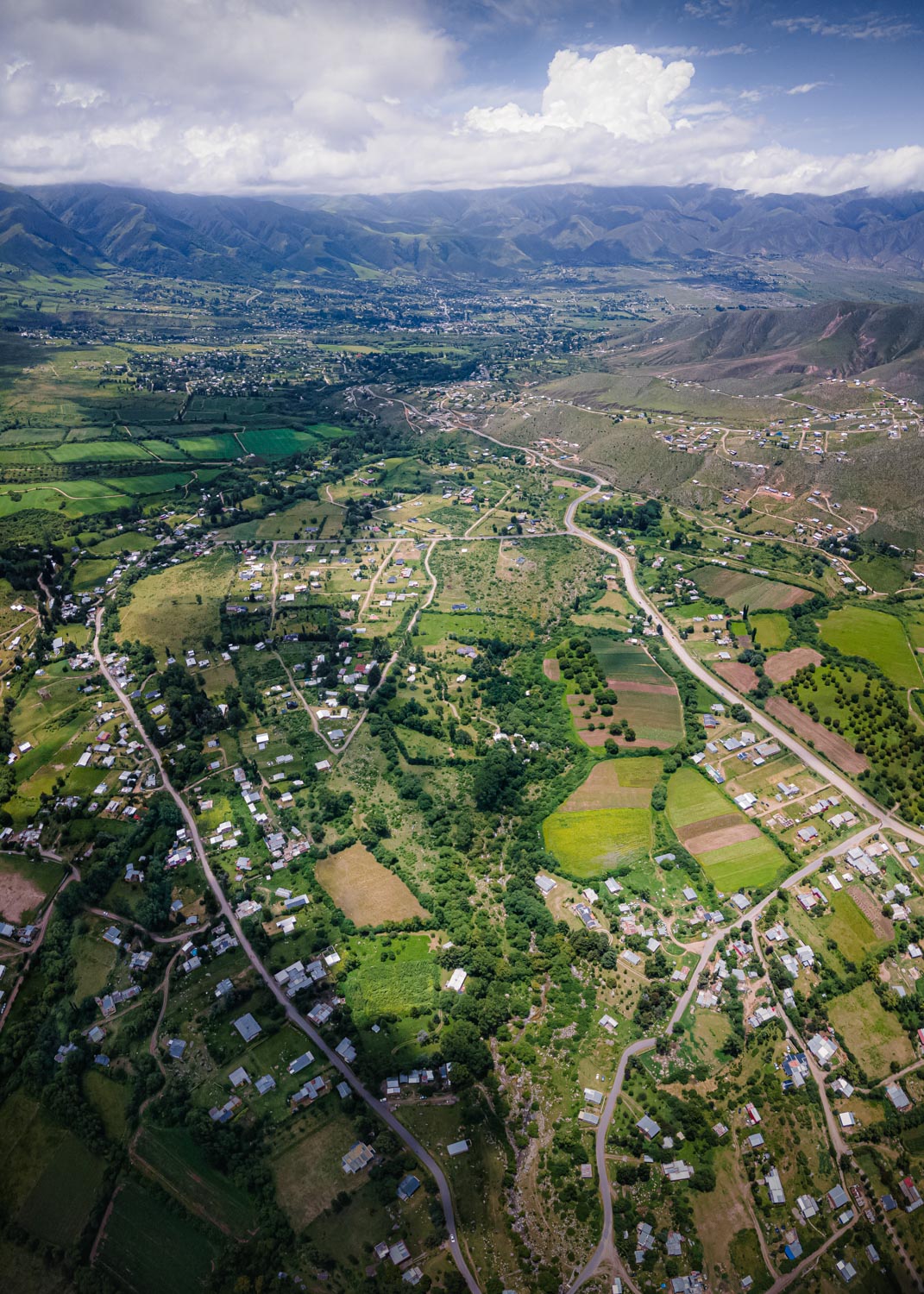
The town of Tafí del Valle lies in the west of Tucumán, and 126 km away from the capital. It has a population of about 15,000 people spread out over 150 km² and is located at an elevation of 2,014 m. As a result of this elevation the climate is temperate with low humidity and winter snowfalls. In the winter, temperatures can even descend to as low as -20°C.
Text adapted from Wikipedia.org
Press Enter to automatically
scroll to the next picture
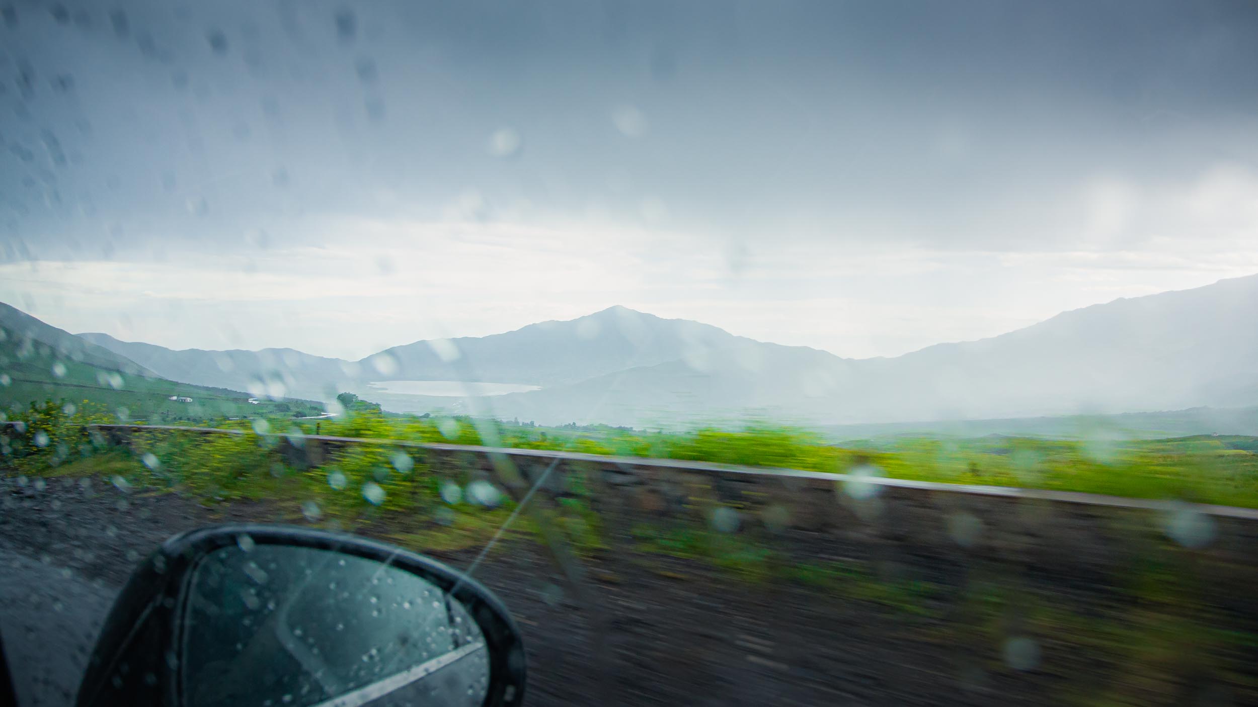
Arriving to Tucumán

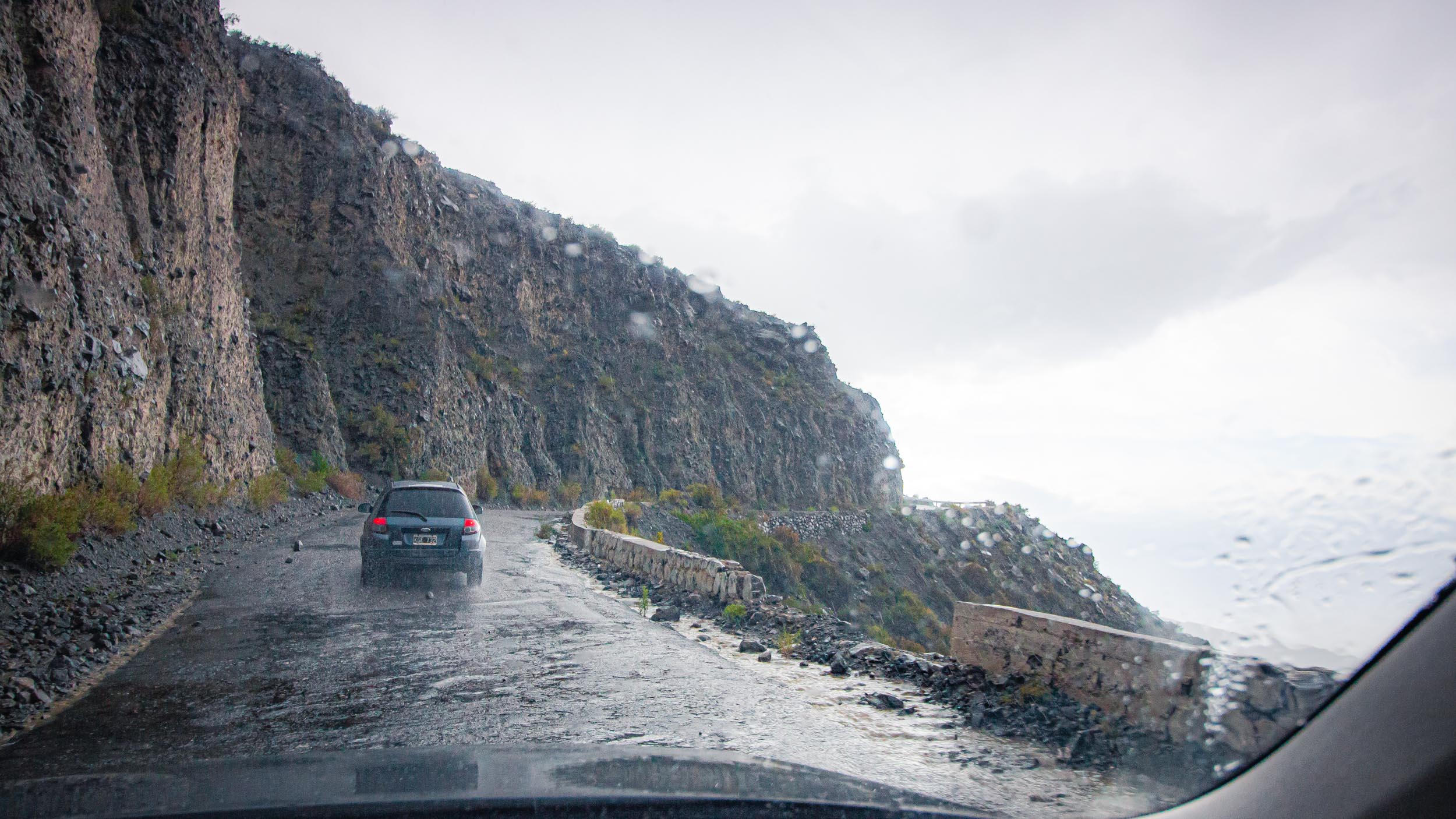
Roads can become a bit dangerous when it's raining
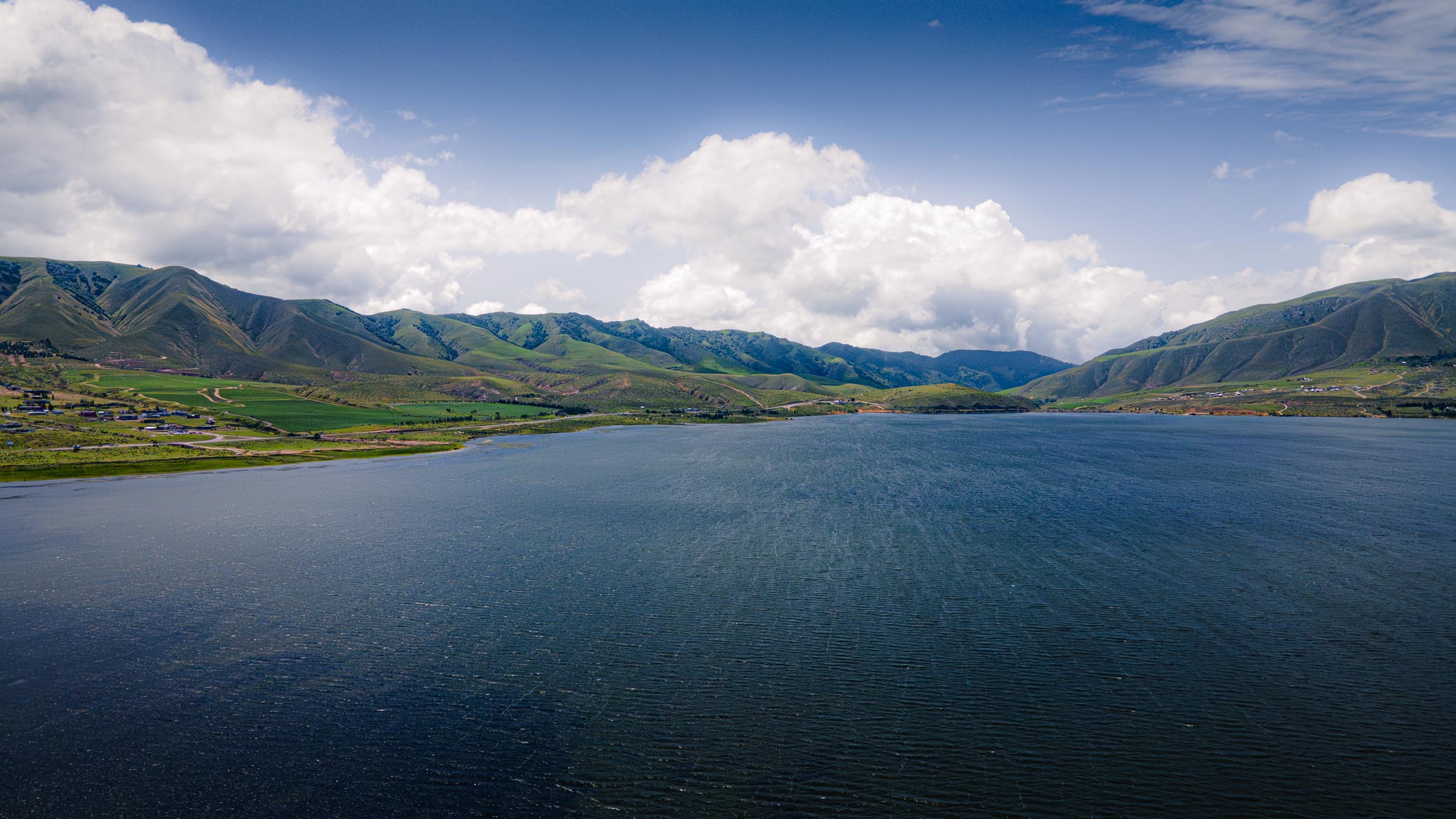
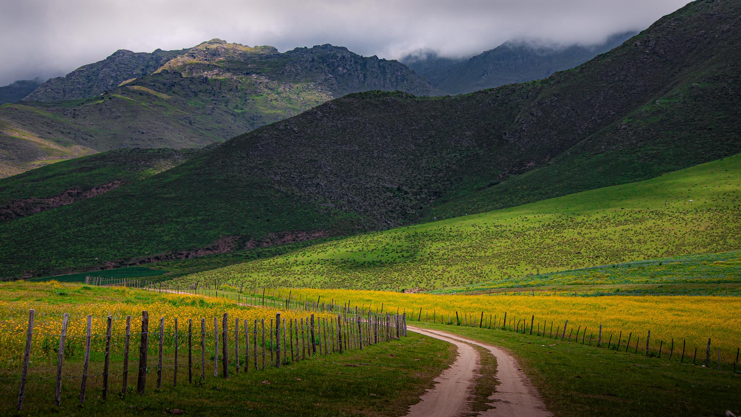
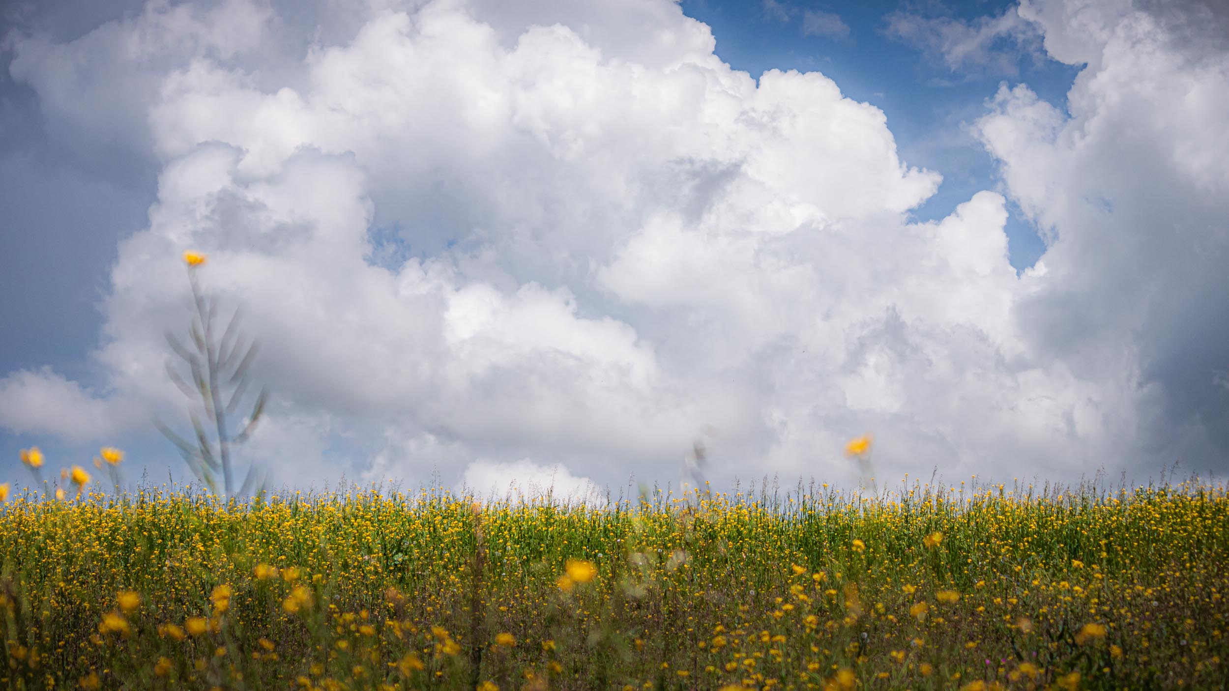
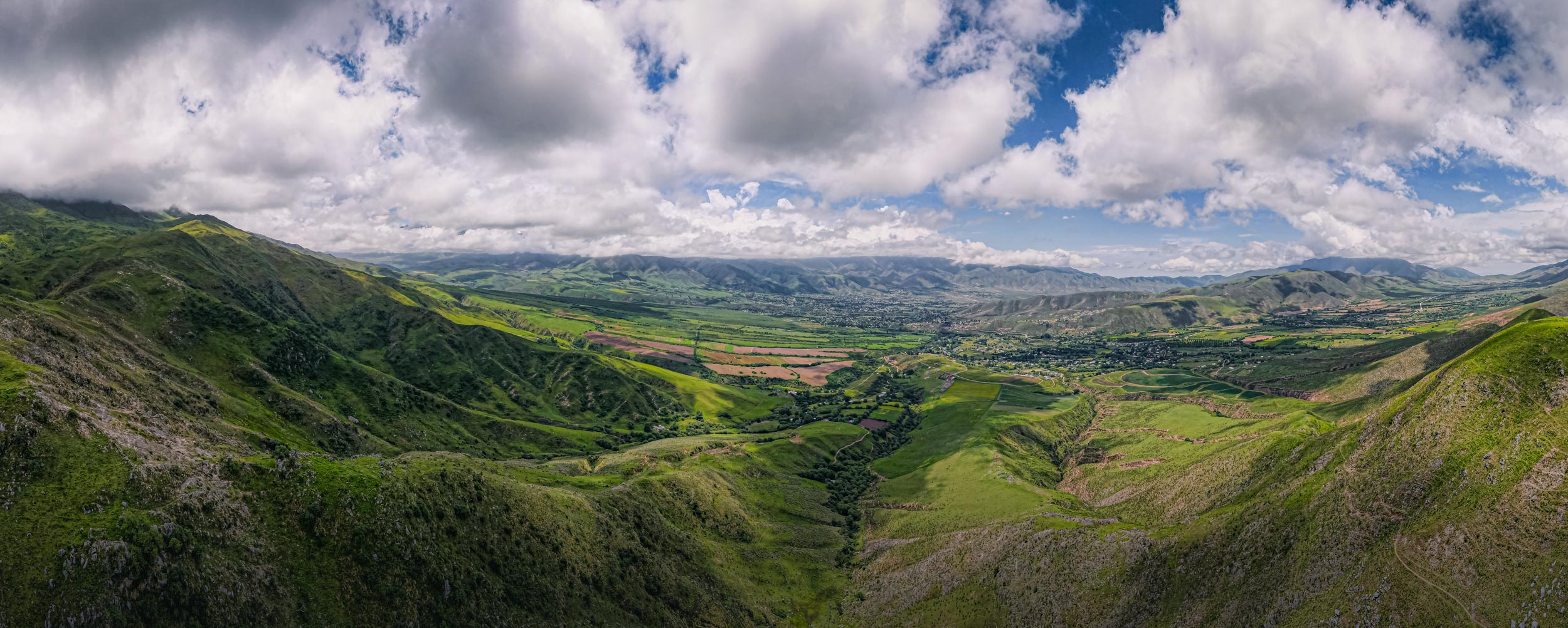
La Angostura Natural Reserve near Tafí del Valle

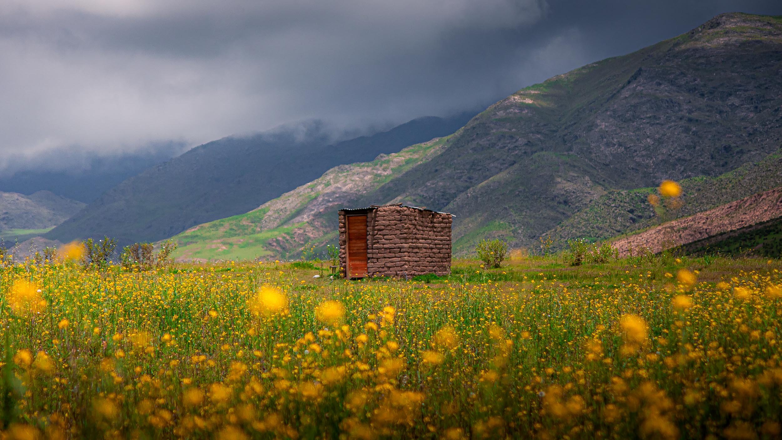
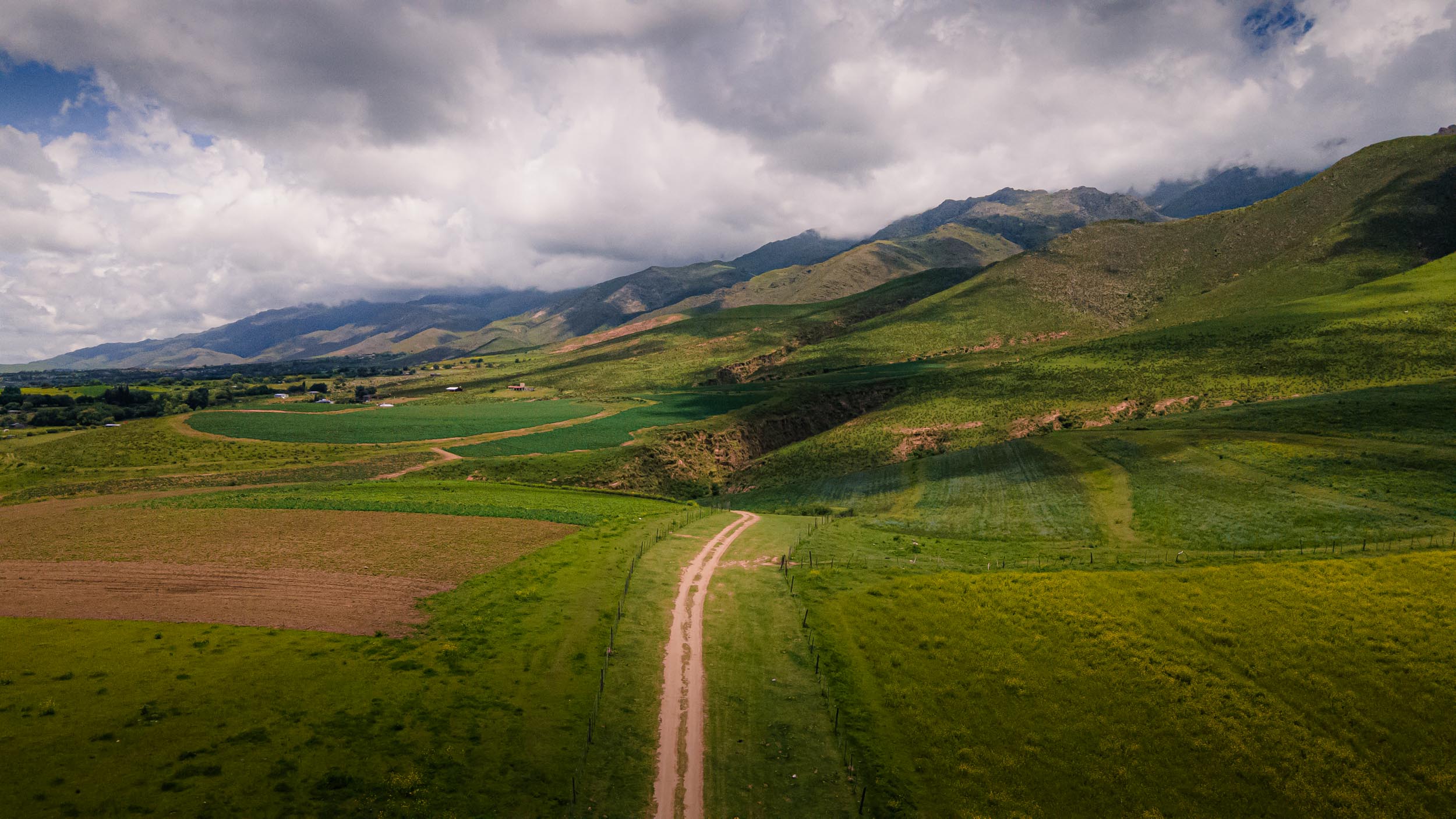
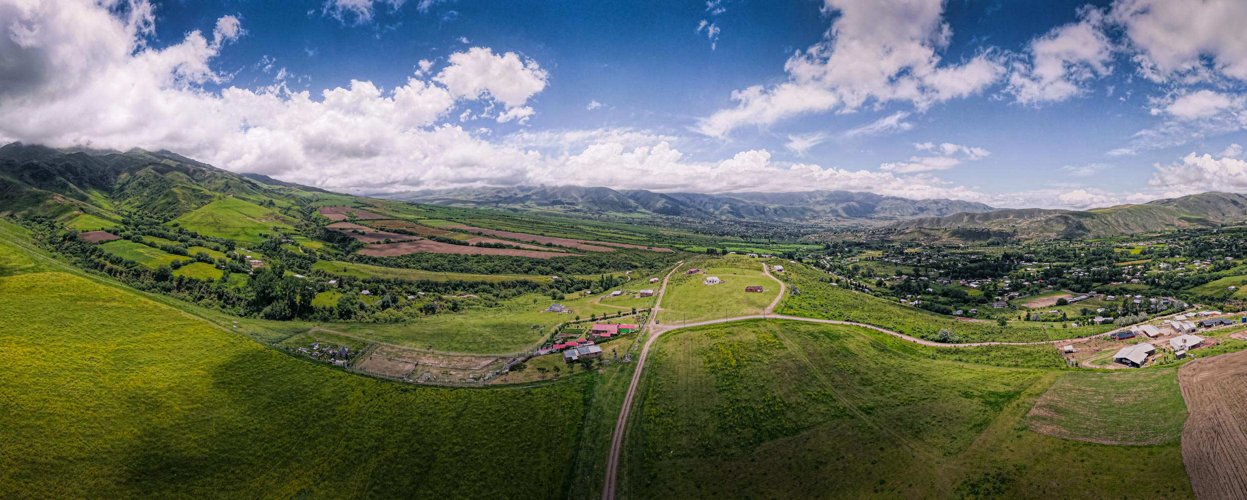
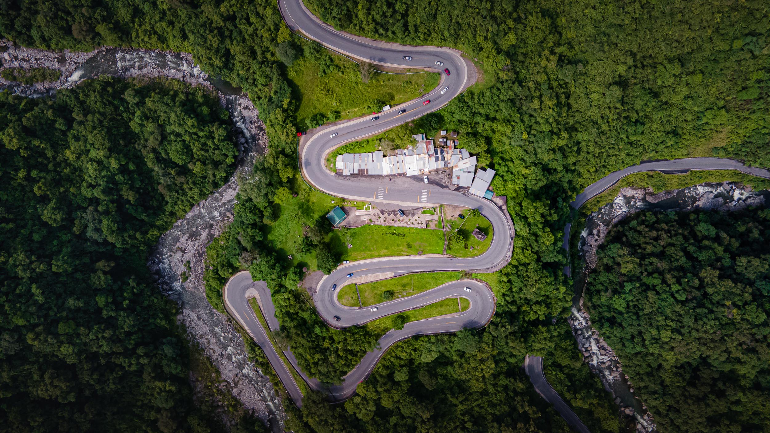
The Ruta Provincial 307 south of Tafí del Valle
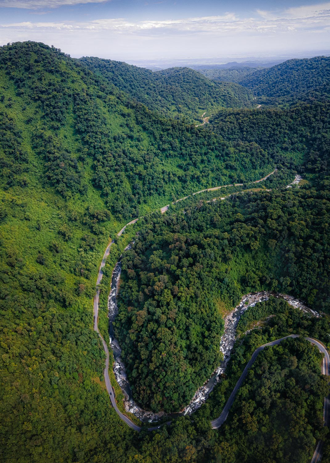
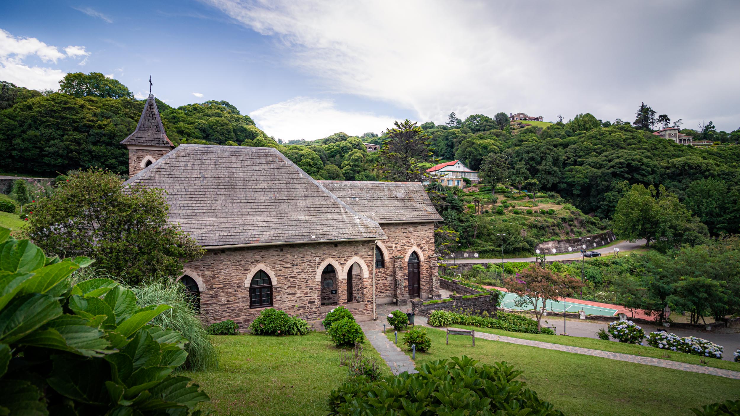
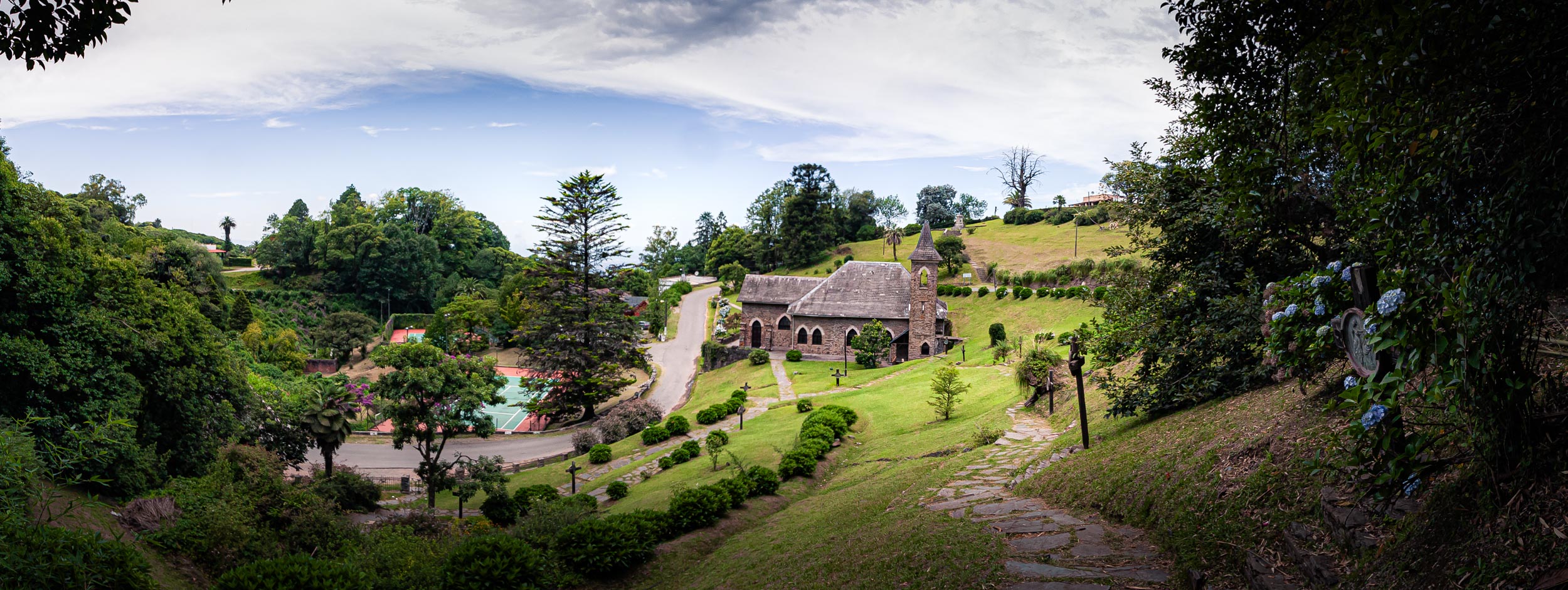
The town of Villa Nougues near Tucumán's capital, San Miguel de Tucumán
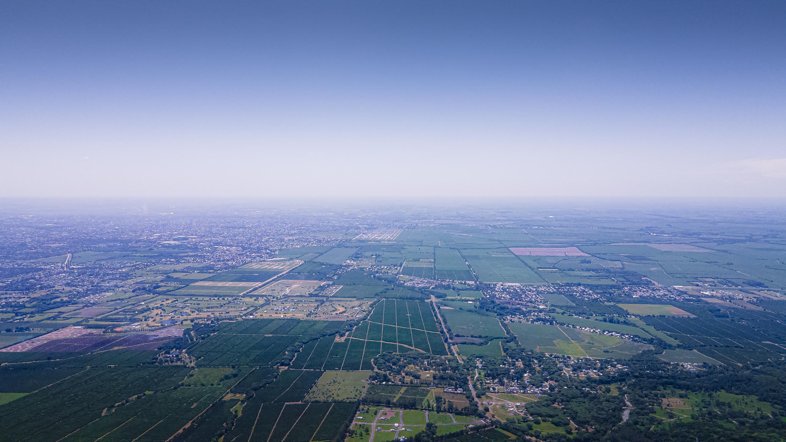
View towards San Miguel de Tucumán

San Miguel de Tucumán